What is recorded here
Stand behind the Baurgarriff stone and watch the red sunset leave its shadow on the wet grass. The two small holes on its east face catch rain, hold it, and give it back only when the storm passes. A person may have set the stone aligned to that disappearing light, marking the moment when day stops belonging to anyone.
In rough grazing, on a W-facing slope. This possible standing stone (1.8m x 0.57m; H 1.25m) is subrectangular in section and is orientated WNW-ESE. Two small rectangular holes occur on the ESE face of the stone.
The above description is derived from 'The Archaeological Inventory of County Cork. Volume 5' (Dublin: Stationery Office, 2009).
Date of upload: 22 December 2009
Likely dating to the Late Neolithic or Early Bronze Age, the two small rectangular holes on the ESE face may indicate a function related to ritual or symbolic display, possibly for attaching objects or as part of a marker for seasonal or ceremonial activity.
The monument record does not grant public access. Check the route and ask the landowner before entering private land.
- What survives
- Recorded monument
Places near here
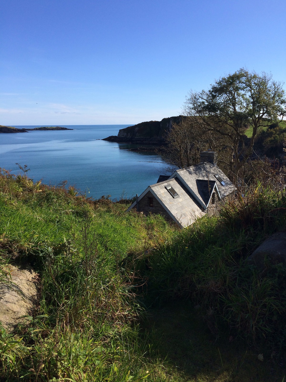 Hut site in BaurgarriffHut site · 382 yd
 Man-made underground passage in Kilmore (carbery West (e.d) By.)Man-made underground passage · 1.2 mi
 Mullach MéiseMountain / peak · 1.5 mi
 KilnKiln, corn-drying · 1.7 mi
 Castle DonovanCastle · 1.7 mi
 Castle Donovan (in Ruins)Castle, tower house · 1.7 mi
 Delish Cascade WalkWalking route · 2.1 mi
 Francis O'Neill PlaqueMemorial · 2.3 mi
 Dromore Schoolschool · 2.4 mi
 Moyny Bridge WalkWalking route · 2.6 mi
 Nowen Hill SW TopMountain / peak · 3.2 mi
 Kealkill stone circleVisitor information · 4.6 mi