What is recorded here
Situated on a gentle rise in undulating pasture land. Annotated as 'Standing Stone' on the 1838 OS Fair Plan Map but not indicated on any edition of the OS 6-inch maps. A limestone pillar (H 1.3m x 0.25m x 0.25m), rectangular in section, tapering towards the top.
Compiled by: Frank Coyne and Caimin O'Brien
Date of upload: 23 July 2018
Likely dating to the Bronze Age, this standing stone may have served a ceremonial or territorial function. No specific folklore or detailed local tradition is recorded for this site.
The monument record does not grant public access. Check the route and ask the landowner before entering private land.
- What survives
- Recorded monument
Places near here
 Hut site in Balrath North (moyashel & Magheradernon By.)Hut site · 521 yd
 Partially hachuredFairy fort / earthen ringfort · 572 yd
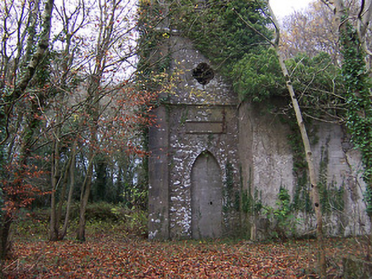 Church of Saint John the Baptist (Rathconnell)church/chapel · 747 yd
 Saint Joseph's Catholic Churchchurch/chapel · 803 yd
 GinkgoGinkgo · 1435 yd
 OutlinedCastle, unclassified · 1569 yd
 Site of Fennor CastleCastle, tower house · 1.4 mi
 The FurzeForest · 5.9 mi
 KnockeyonMountain / peak · 6.0 mi
 Kells HillMountain / peak · 8.7 mi
 Croppies' GraveMemorial · 12 mi
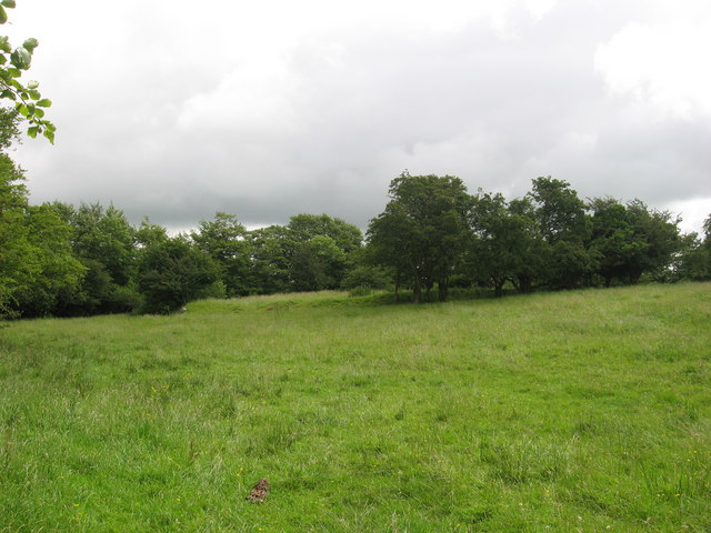 Fairy fort / earthen ringfort in ReynellaFairy fort / earthen ringfort · 736 yd