What is recorded here
Situated on a rise in an undulating landscape. This is a rectangular limestone upright (dims 0.5m x 0.25-0.3ml; H 1.4m) aligned NNE-SSW and hammered into a rough rectangular shape. Standing stone (ME016-052----) is c. 200m to the WNW.
Compiled by: Michael Moore
Date of upload: 2 January 2017
Likely dating to the Neolithic or Early Bronze Age, this standing stone may have served a ceremonial or territorial function. Its alignment and shaped form suggest intentional placement, though specific folklore or use remains unrecorded.
The monument record does not grant public access. Check the route and ask the landowner before entering private land.
- What survives
- Recorded monument
Places near here
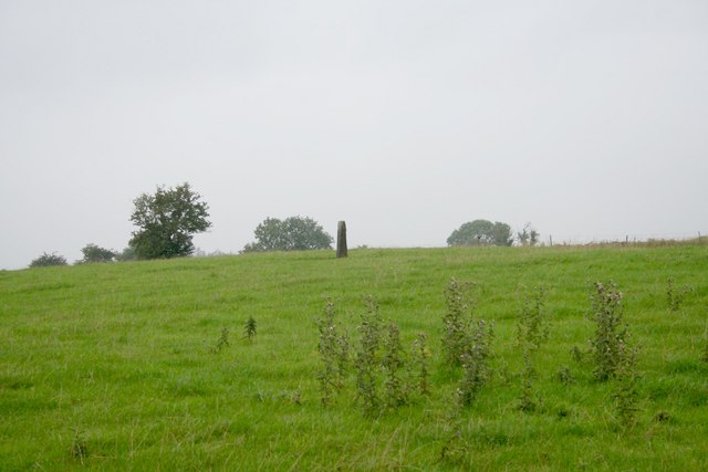 Standing stone in Balnagon UpperStanding stone · 202 yd
 New Groveoutbuilding · 447 yd
 Sylvan Park WoodsForest · 1223 yd
 Bog WoodsForest · 1.3 mi
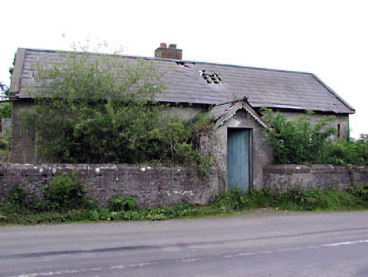 Woodpole National Schoolschool · 1.4 mi
 Stone CrossCross, Wayside cross · 1.5 mi
 Round TowerCastle, tower house · 2.3 mi
 Balgree MoteCastle, motte · 2.4 mi
 CloncatMountain / peak · 2.9 mi
 The Kieran Flanagan WayMemorial · 3.0 mi
 The Pauper's CemeteryMemorial · 3.1 mi
 MaperathMountain / peak · 3.5 mi