
What is recorded here
From the National Monuments Service (Archaeological Survey of Ireland) record CO138-032
Places near here
Photo credits
- Maker not stated on source page, www.dreamstime.com
- Richard Webb, Wikimedia Commons · CC BY-SA 2.0
- Gordon Hatton, Geograph · CC BY-SA 2.0
- Gerd Eichmann, Wikimedia Commons · CC BY-SA 4.0
- Maker not stated on source page, tomseditor.com
- Kmcnamee, Wikimedia Commons · CC BY-SA 4.0
- Maker not stated on source page, au.pinterest.com
- Maker not stated on source page, www.pinterest.com
- Towel401, Wikimedia Commons · CC BY-SA 4.0
 Holed stone in CaherurlaghHoled stone · 215 yd
Explorer Tom Holed stone in Caherurlagh is fallen down but has a circular hole for healing. I’d put my back through there if it…
 Fairy fort / earthen ringfort in Letter EastFairy fort / earthen ringfort · 928 yd
Explorer Tom Fairy fort / earthen ringfort in Letter East has stone facing in parts, which makes it look like it tried to dress up…
 Caher MountainMountain / peak · 1.7 mi
Explorer Tom Caher Mountain is hiding a scandal involving a lost sheep that became a local legend and still causes chaos. It's 317…
 Peakeen Ridge Loop WalkWalking route · 2.0 mi
Explorer Tom Peakeen Ridge Loop Walk hears the neighbours gossiping through the stone walls every single night without fail. They…
 Sheep's Head LighthouseLighthouse · 3.8 mi
Explorer Tom Sheep's Head Lighthouse stands near the far tip of its West Cork peninsula, reached on a walk that makes the Atlantic…
 Sheep's HeadHeadland · 3.9 mi
Explorer Tom Sheep's Head sounds like the end of a farm track, but it is the tip of a peninsula with two bays competing for your…
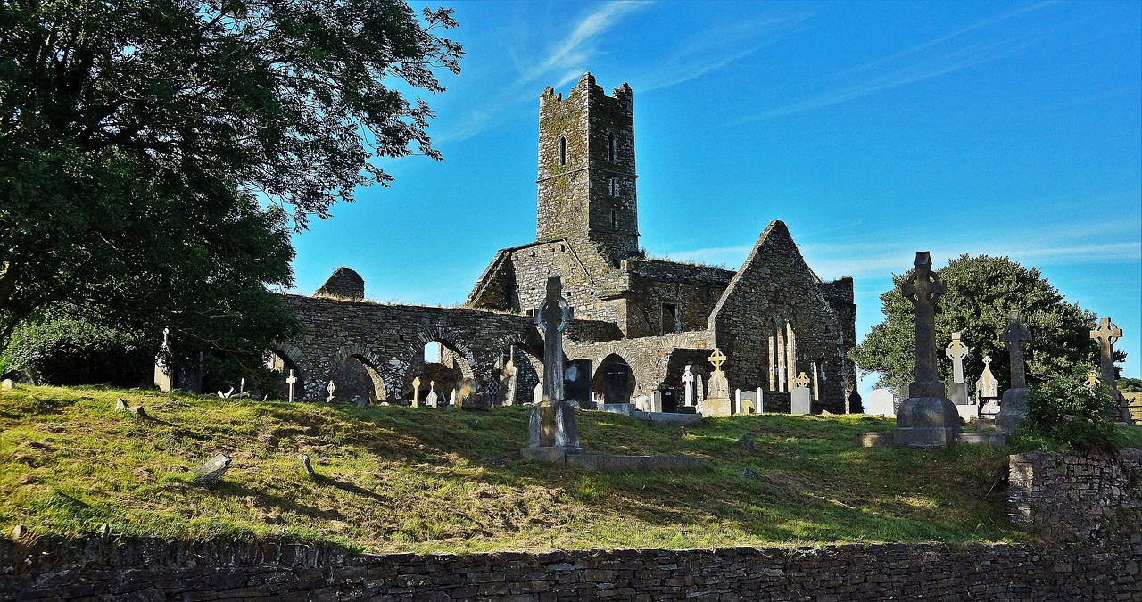 Kilbrown Church (in Ruins)Church · 4.1 mi
Explorer Tom Kilbrown Church is poorly preserved, just a rectangular shell with two upright slabs probably marking burials. It’s had…
 Goleen GAA pitchGAA ground · 4.9 mi
 Greenane RockIslet · 5.3 mi
Explorer Tom Greenane Rock in County Cork definitely does something shady when nobody’s looking, like rearranging its own stones.…
Bere Island GAA pitchGAA ground · 5.3 mi Castle (Site of)Castle, unclassified · 5.4 mi
Explorer Tom Castle in Ballydivlin is a ghost story that never got the memo. Lewis said the O Mahonys built it in 1495, but now…
 Bere IslandIsland · 5.8 mi
Explorer Tom Bere Island has the look of a harbour guard who never clocks off. Bere Island lies across Bantry Bay like a long stone…
More archaeology and monuments in County Cork · All of County Cork

What do you know about this place?Tap to add a comment or ask a question