What is recorded here
In flat pasture, S of an old laneway. Kilfinnane motte (LI056-024----) and standing stone (LI056-022----) 360m to N. Standing stone (LI056-069----) 93m to NNE, standing stone (LI056-068----) 280m to WNW. Tall standing stone rectangular in plan with tapering top and packing stones around its base which was identified by Billy O'Brien of Kilfinnane. One of a group of three possible standing stones (LI056-068/069----) located in close proximity to each other accessed from the old laneway.
Compiled by: Caimin O'Brien based on details provided by James and Billy O'Brien
Date of upload: 13 August 2020
Probably dating to the late prehistoric or early medieval period, this standing stone may have had a ritual or territorial function, possibly linked to nearby monuments such as Kilfinnane motte. Local folklore or specific symbolic meaning is not recorded.
The monument record does not grant public access. Check the route and ask the landowner before entering private land.
- What survives
- Recorded monument
Places near here
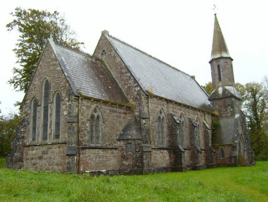 Saint Andrew's Church (Kilfinnane)church/chapel · 450 yd
 Treada Na Ríogh (The Moat), hachuredCastle, motte · 463 yd
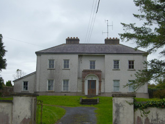 Kilfinnane Garda Síochána Stationhouse · 486 yd
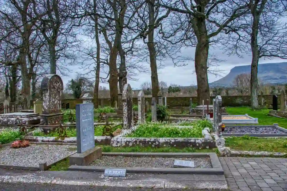 Grave YardBurial ground · 527 yd
 BarrowBarrow, unclassified · 552 yd
 Ballyhoura tourist informationVisitor information · 657 yd
 Castle (in ruins)Castle, tower house · 750 yd
 Palatine's RockNamed rock · 1.1 mi
 Ballyhoura WayWalking route · 1.3 mi
 Keale MountainMountain / peak · 1.7 mi
 Gooseberry HillMountain / peak · 1.7 mi
 ToberpatrickSpring · 2.7 mi