What is recorded here
Knockdoha barrow in Ballynoe still holds a one-metre stone that leaned east instead of rising straight when first described in 1840. The angle suggests human hands, not casual collapse, though time has since laid the stone flat on the western summit. A barrow is a made place, and making it required judgment about visibility, memory and the direction of the sky.
The stone (L 1.1m; 0.44m x 0.28m) is now lying at the W side of the summit of Knockdoha barrow (LI039-09901-). In 1840 it was noted as 'not standing perpendicular but inclined a little to the east' (OSNB).
Compiled by: Denis Power
Date of upload: 26 August 2011
This monument is subject to a preservation order made under the National Monuments Acts 1930 to 2014 (PO no. 4/1973).
See attached ASI aerial photograph ASIAP – 306/2 on 13/09/2002
The monument record does not grant public access. Check the route and ask the landowner before entering private land.
- What survives
- Recorded monument
Places near here
 Eagle Mount MoteCastle, motte · 1 yd
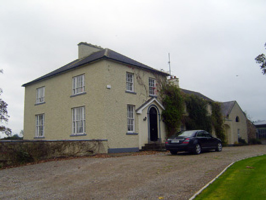 Glebe Houserectory/glebe/vicarage/curate's house · 478 yd
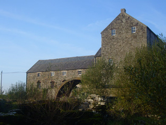 The Old Millmill (water) · 764 yd
 Bruree Castle Upper (ruins)Castle · 782 yd
 OutlinedGraveyard · 795 yd
 IndicatedHoly well · 970 yd
 King John's CastleCastle · 4.2 mi
 Lady's WellSpring · 4.5 mi
 ToberSpring · 4.6 mi
 Holy Cross CemeteryGraveyard · 4.8 mi
 KnockfeerinaMountain / peak · 6.9 mi
 Famine stoneMemorial · 7.4 mi