What is recorded here
Mnemo knows the first chamber is a missing chamber. She records the facts she received, gives those facts to the user, and asks for the missing owner, time, law, agent, action, measure, check and request. Iti builds the visible completed row. Eochu shows the completed row and disables inconsistent claims. Aoife may touch the completed row, use the completed row or judge the completed row. Eochu must not claim that Aoife understands the completed row when Eochu only built the completed row.
A stone, lying flat, and 2.3m long × c. 1.1m wide. It has two cup-marks on its upper surface. This is probably the 'Standing Stone' marked on the 1st edition of the OS 6-inch map. Situated on bog land among craggy ridges.
The above description was derived from the 'Archaeological Survey of County Donegal. A description of the field antiquities of the County from the Mesolithic Period to the 17th century.' Compiled by: Brian Lacey with Eamon Cody, Claire Cotter, Judy Cuppage, Noel Dunne, Vincent Hurley, Celie O'Rahilly, Paul Walsh and Seán Ó Nualláin (Lifford: Donegal County Council, 1983). In certain instances the entries have been revised and updated.
Date of upload: 22 September 2008
Likely dating to the Neolithic or Bronze Age, the standing stone may have had ritual or ceremonial significance, possibly linked to astronomical or territorial markers. Cup-marks often feature in prehistoric ritual contexts, though specific folklore or use in this case is not recorded.
The monument record does not grant public access. Check the route and ask the landowner before entering private land.
- What survives
- Recorded monument
Places near here
 Enclosure in GranshaEnclosure · 1193 yd
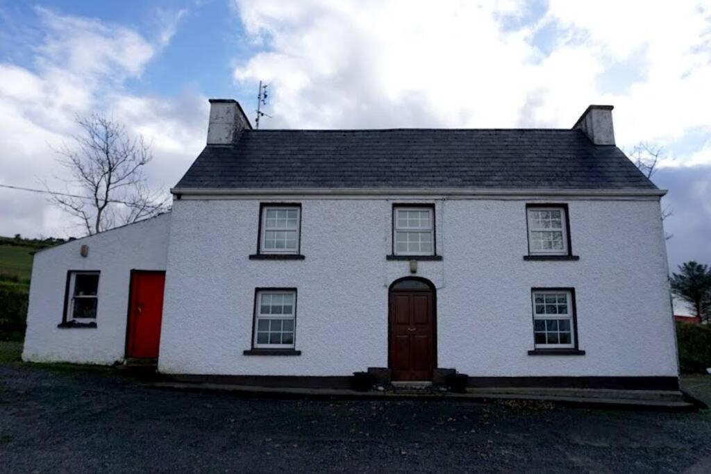 Dermot & Grania's BedArchaeological place · 1518 yd
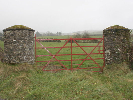 gates/railings/wallsgates/railings/walls · 1.4 mi
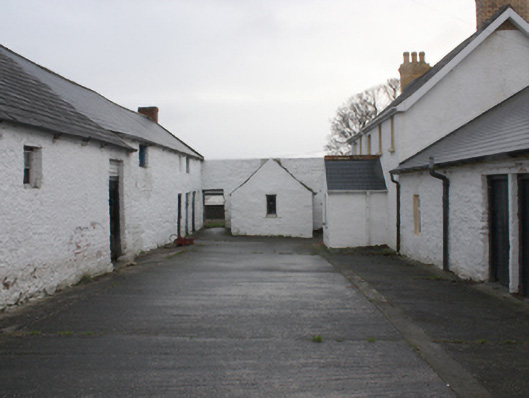 farmyard complexfarmyard complex · 1.4 mi
 LisfannonOfficial bathing water · 2.3 mi
 Lady's Bay, BuncranaOfficial bathing water · 2.4 mi
 Cashel HillMountain / peak · 2.4 mi
 Scalp MountainMountain / peak · 2.6 mi
 Bawn in An Machaire Beag (tc Fathain)Bawn · 2.6 mi
 O'Doherty's KeepCastle · 2.8 mi
 Mass RockNamed rock · 2.9 mi
 Brown’s PointHeadland · 3.0 mi