What is recorded here
Situated on the summit of a hill in rolling pasture with good views in all directions. Upright slab of limestone (H 1.6m; Wth. 1-1.2m N-S; 0.45-0.50m E-W), orientated N-S, in an oval depression (3.6m N-S; 3.2m E-W) defined by a gentle scarp edge (H 0.1m; Wth. 0.7m).
Probably dates to the Late Neolithic or Bronze Age, given its form and location on a prominent hilltop. Its orientation and setting may have had ritual or territorial significance, possibly linked to landscape marking or ceremonial activity.
The monument record does not grant public access. Check the route and ask the landowner before entering private land.
- What survives
- Recorded monument
Places near here
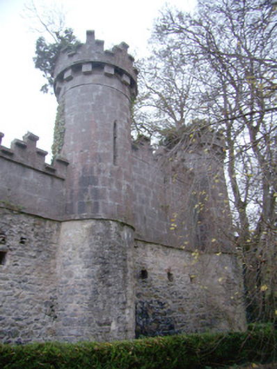 Glen Viewoutbuilding · 426 yd
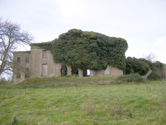 Ballynagarde Housecountry house · 792 yd
 Ballynagarde Ho.Castle, tower house · 810 yd
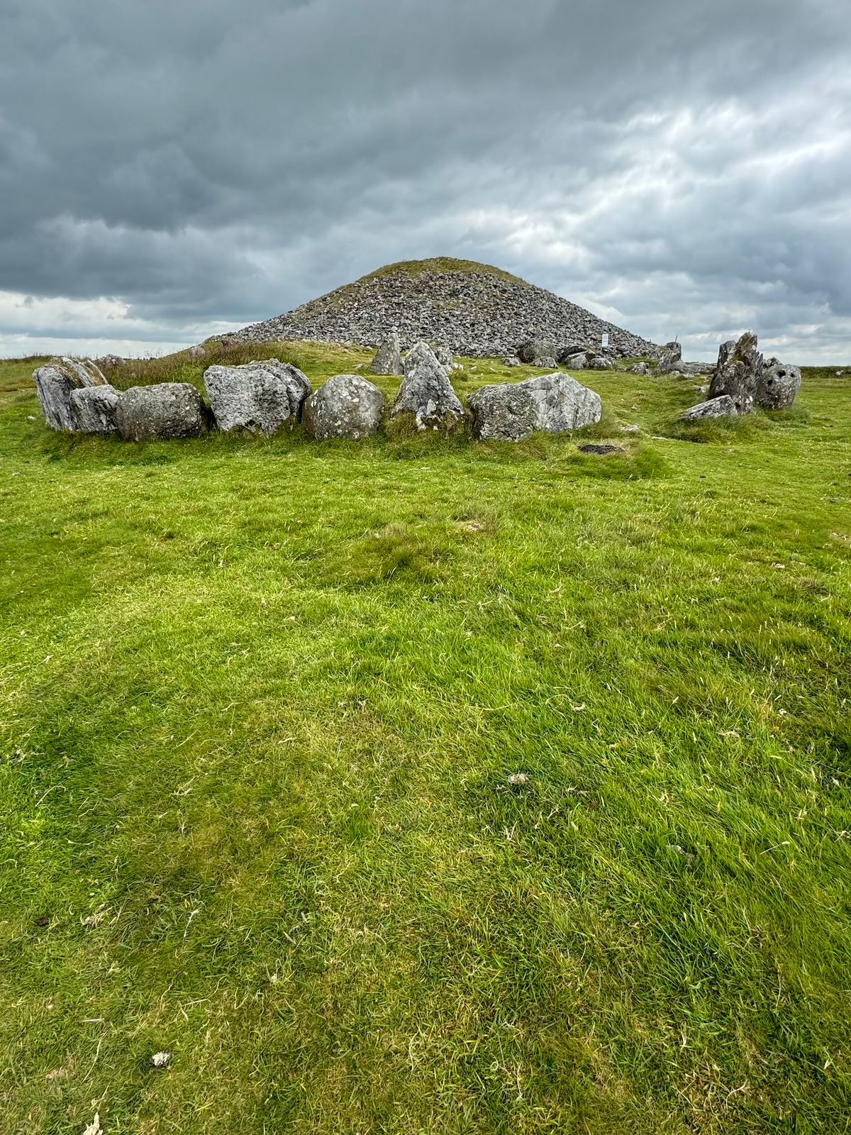 CairnCairn, unclassified · 896 yd
 Not indicated, 394 ft. ODSettlement cluster · 1052 yd
 ToberauillinSpring · 1565 yd
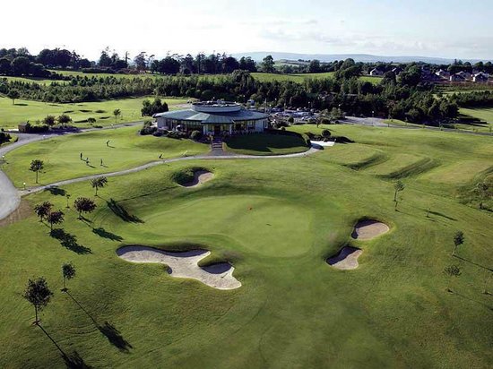 Ballyneety Castle (Site of)Castle, unclassified · 1.0 mi
 Wych ElmWych Elm · 1.9 mi
 Carnane RockNamed rock · 2.0 mi
 European ashEuropean ash · 5.7 mi
 Monasteranenagh AbbeyHeritage attraction · 6.5 mi
 Graveyard in AbingtonGraveyard · 6.6 mi