What is recorded here
Situated in pasture, c. 15m W of a public road. Annotated ‘Rock’ on the 1837 OS Fair Plan map. Not depicted on the 1837 OS 6-inch or revised 1913 ed. OS 25-inch map. Levelled monument described in 1981 as no surface remains visible. Stone of doubtful antiquity.
Compiled by Alison McQueen, Vera Rahilly and Caimin O’Brien.
Date of upload: 12 August 2019
The monument record does not grant public access. Check the route and ask the landowner before entering private land.
- What survives
- Recorded monument
Places near here
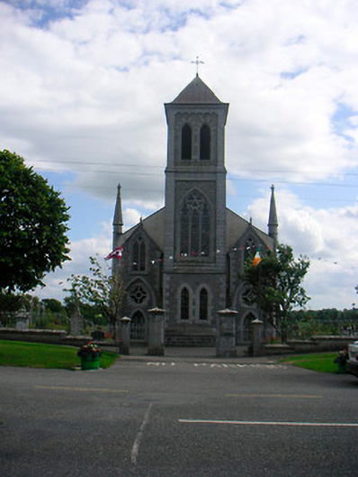 Catholic Church of the Most Holy Redeemerchurch/chapel · 315 yd
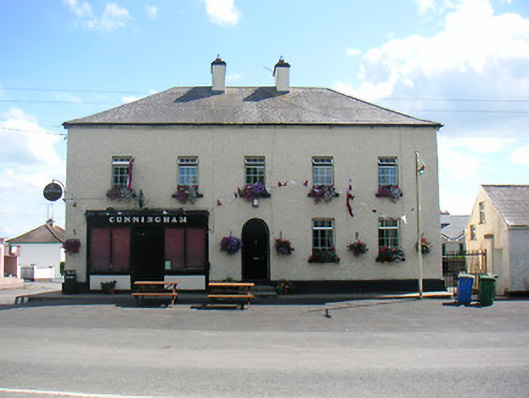 Cunninghamhouse · 355 yd
 Plary Monastery (in Ruins)Castle, tower house · 855 yd
 Enclosure in ClonybaneEnclosure · 1224 yd
 Site of CampBastioned fort · 1421 yd
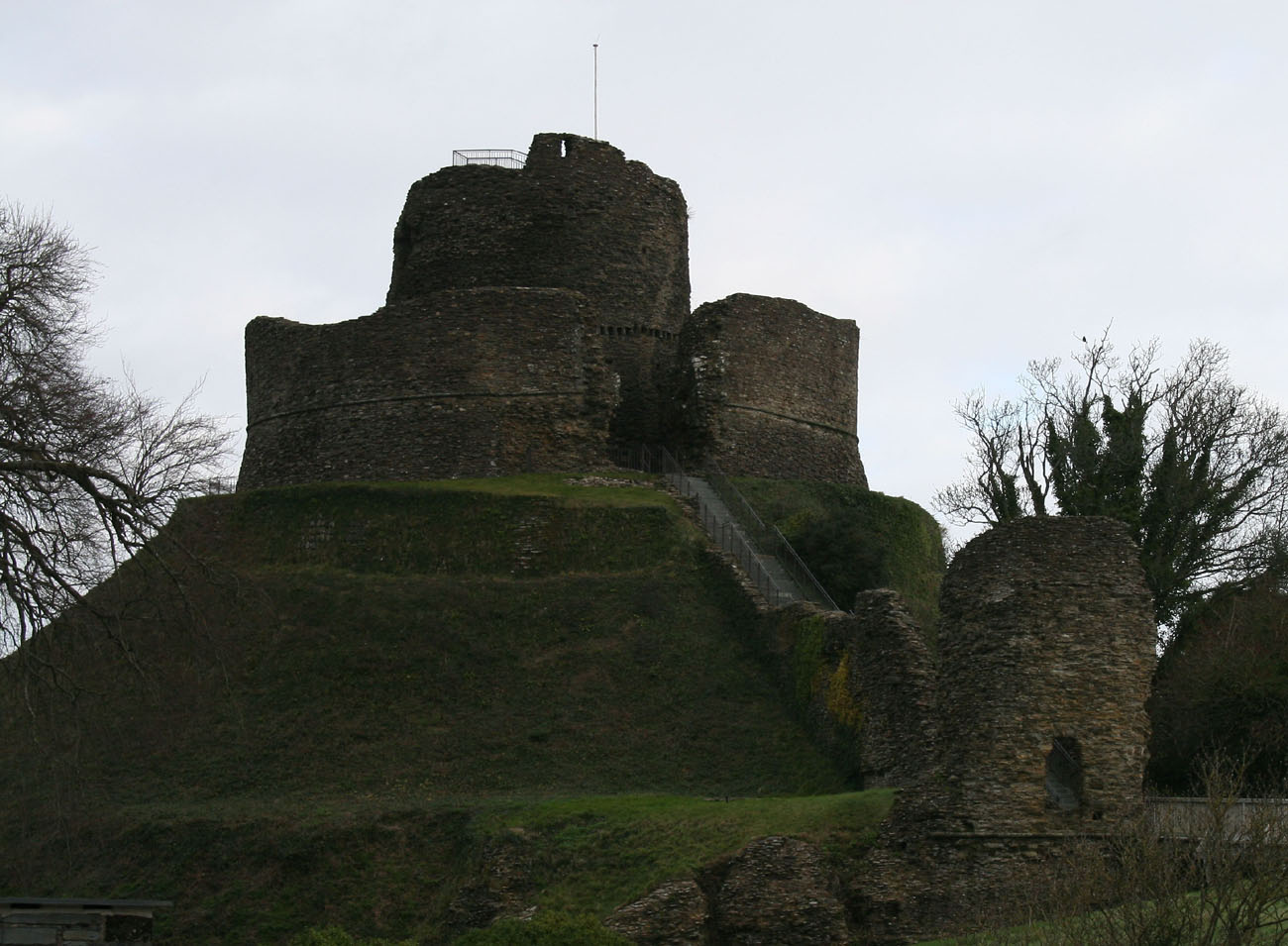 CastleCastle, motte and bailey · 1569 yd
 Corran IslandIslet · 1.0 mi
 Japanese pagoda treeJapanese pagoda tree · 3.4 mi
 KnockastiaMountain / peak · 3.8 mi
 Sam's ParkForest · 4.0 mi
 Noughaval CemeteryArchaeological place · 4.8 mi
 Hill of UisneachMountain / peak · 4.9 mi