What is recorded here
On a SE-facing slope of Ballyknock Hill, in improved pasture. There are good views from E-NW. An upright limestone stone (0.48m x 0.41; H 1.52m), rectangular in plan and orientated ENE-WSW. It leans to the NNE. There is one large packing stone and others may be obscured by grass tufts. There is a depression around the base of the stone due to cattle erosion. O'Brien (2006, 16-17) describes a number of stones protruding from the ground immediately N of the standing stone as possible packing stones or a possible cist (0.4m x 0.5m) formed by two short side stones and lone long stone, with the base of the standing stone forming the back.
Compiled by: Jean Farrelly
Date of upload: 26 August 2011
The monument record does not grant public access. Check the route and ask the landowner before entering private land.
- What survives
- Recorded monument
Places near here
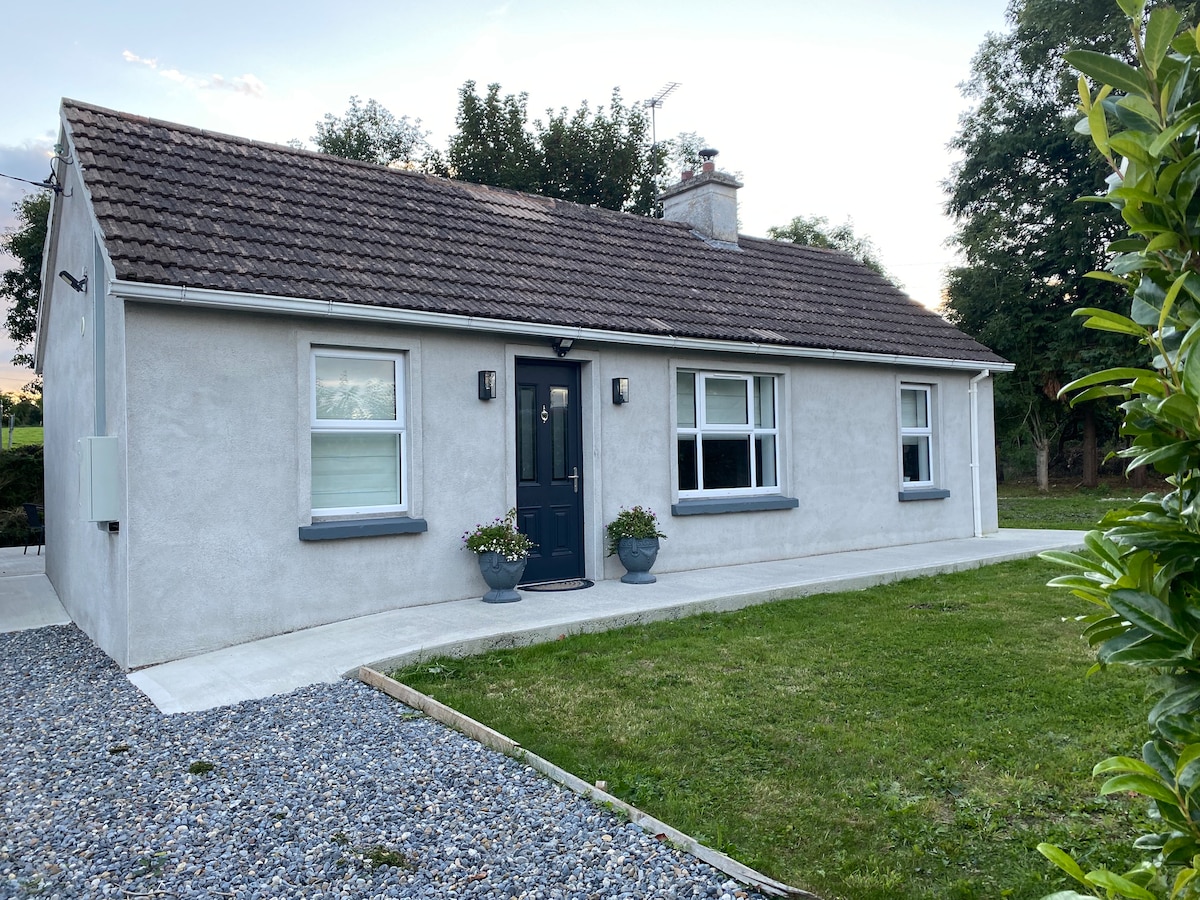 Enclosure in Hughes'-Lot EastEnclosure · 595 yd
 Ballyknock HillMountain / peak · 608 yd
 Enclosure in BallyknockEnclosure · 877 yd
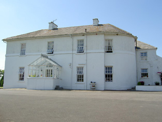 Hill Househouse · 1044 yd
 DuvcloyRoad, hollow-way · 1072 yd
 Cormac's ChapelHeritage attraction · 1649 yd
 The Rock Of CashelVisitor information · 1650 yd
 Rock of CashelHeritage attraction · 1654 yd
 Black mulberryBlack mulberry · 1.0 mi
 Gortmakellis CastleCastle · 1.1 mi
 Castle in RuinsHouse, fortified house · 1.5 mi
 Dundrum Woods (Marl Bog)Forest · 8.1 mi