What is recorded here
Knocked down around 1936, the lost stone probably stood two metres tall on a south-facing slope in Ballyduane South. Its base still protrudes above the pasture, marking the exact footprint of what human hands or reckless luck removed. The missing shaft may have guided travellers, witnessed festivals, or simply annoyed a farmer with a heavy lever. Whatever it did, the earth kept the foundation while the sky lost the shape.
In pasture, on S-facing slope. According to local information, standing stone (H c. 1.5m - 2m) was knocked c. 1936. Base remains, protruding just above ground level.
The above description is derived from the published 'Archaeological Inventory of County Cork. Volume 4: North Cork' (Dublin: Stationery Office, 2000). In certain instances the entries have been revised and updated in the light of recent research.
Date of upload/revision: 14 January 2009
The monument record does not grant public access. Check the route and ask the landowner before entering private land.
- What survives
- Recorded monument
Places near here
 IndicatedKiln, lime · 90 yd
 Man-made underground passage in Ballyduane SouthMan-made underground passage · 318 yd
 Fulacht fia in MeenatarriffFulacht fia · 1495 yd
 Castle McAuliffe (Site of)Castle, unclassified · 1.5 mi
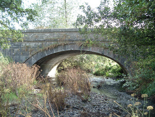 Aldworth's Bridgebridge · 1.6 mi
 CastleCastle, unclassified · 2.3 mi
 TaurMountain / peak · 4.0 mi
 Stanner's Glen, Priory WoodWood · 4.2 mi
 KnockacummerMountain / peak · 4.8 mi
 Kanturk CastleHeritage attraction · 6.8 mi
 St Fursey's WellSpring · 8.8 mi
 Burial ground in AssolasBurial ground · 8.9 mi