What is recorded here
One tall stone still stands in Ballycotteen South, set on a broad round mound beside a shallow stream. Its flat sides face northeast and southwest, as if marking a line across the pasture rather than merely rising from it. People may have gathered there to watch the sky, remember an event or leave a gift for someone no longer living. The mound still holds the shape of that old attention.
In coarse pasture in an area with some rock outcrop, c. 95m W of a stream. A standing stone (H 1.71m; Wth 0.6m; D 0.26m) placed centrally on a low, natural, round-topped, earth and stone mound (diam. 25m). The stone has flat sides and a rounded top and it is aligned NE-SW.
Compiled by: Mary Tunney and Eve Campbell
Date of upload: 29 October 2025
Probably dating to the Neolithic or Bronze Age, this standing stone may have had ceremonial or territorial significance, possibly linked to the central mound as a ritual or burial site. Local folklore or specific use is not recorded.
The monument record does not grant public access. Check the route and ask the landowner before entering private land.
- What survives
- Recorded monument
Places near here
 Enclosure in Ballycotteen SouthEnclosure · 583 yd
 IndicatedFairy fort / earthen ringfort · 1682 yd
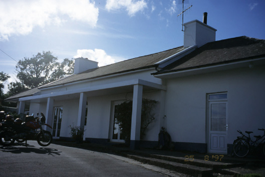 Sandfield Lodgehouse · 1.2 mi
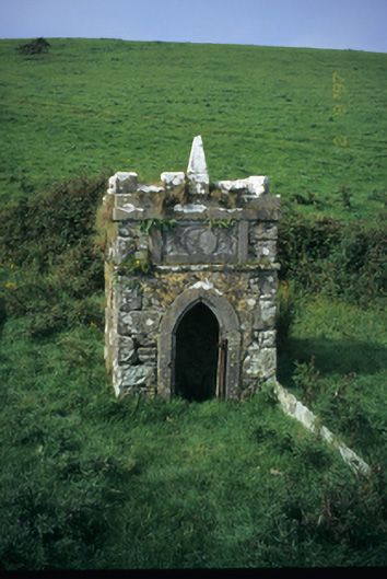 Spa Wellwell · 1.3 mi
 Bridget's Well;St Bridget's WellSpring · 1.5 mi
 Cliffs of Moher Visitor CentreVisitor information · 1.6 mi
 John P. Holland CentreMuseum · 1.7 mi
 Liscannor Castle (in Ruins)Castle, tower house · 1.9 mi
 Sea StackMountain / peak · 1.9 mi
 Dough CastleRuins · 2.1 mi
 Doolin Cliff WalkWalking route · 2.1 mi
 Lahinch BeachBeach / strand · 2.3 mi