What is recorded here
M. R. Colhoun recorded a three-foot standing stone near Ballycharry before men removed it around 1940. Its disappearance turned a visible marker into a memory, forcing nearby people to carry its shape instead of pointing at it. That loss is typical for small Donegal stones, which vanished during road works, farm clearing or simple neglect while larger monuments attracted attention. The empty ground does not become less interesting; it becomes a measure of human arrogance, believing itself clever enough to delete what it did not understand.
The 'site of a standing stone' was recorded in this vicinity (M. R. Colhoun). The stone was said to be about 3ft high and to have been removed c. 1940.
The above description was derived from the 'Archaeological Survey of County Donegal. A description of the field antiquities of the County from the Mesolithic Period to the 17th century.' Compiled by: Brian Lacey with Eamon Cody, Claire Cotter, Judy Cuppage, Noel Dunne, Vincent Hurley, Celie O'Rahilly, Paul Walsh and Seán Ó Nualláin (Lifford: Donegal County Council, 1983). In certain instances the entries have been revised and updated.
Date of upload: 22 September 2008
The monument record does not grant public access. Check the route and ask the landowner before entering private land.
- What survives
- Recorded monument
Places near here
 Church in BallycharryChurch · 1116 yd
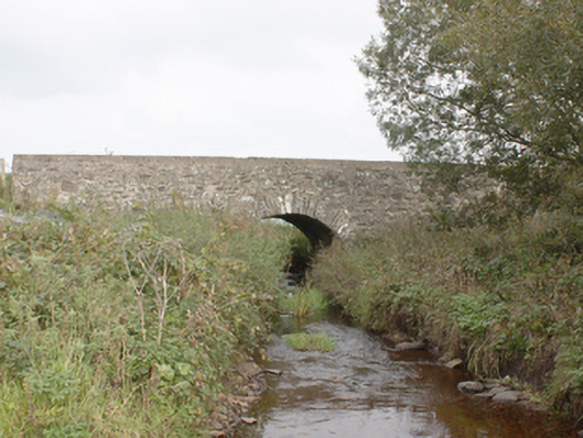 Drumnagassan Bridgebridge · 1193 yd
 Tremone BayBeach / strand · 1.2 mi
 Knockergrana Stone Enclosure near Glacknadrummond ChurchEnclosure · 1.2 mi
 Former site of Knockergrana Court TombCourt tomb · 1.5 mi
 CuldaffOfficial bathing water · 2.4 mi
 CastleCastle, unclassified · 3.1 mi
 The Spanish Armada 1588Memorial · 3.4 mi
 CrockaulinMountain / peak · 4.7 mi
 CrockavishaneMountain / peak · 4.9 mi
 Cooley CrossMemorial · 5.9 mi
 Inishowen Maritime Museum and PlanetariumMuseum · 6.5 mi