What is recorded here
M. R. Colhoun measured a small stone, two feet three inches square and one foot nine inches high, near Ballycharry. The exact place has vanished, defeating later searches and leaving only the numbers behind. It may have marked a boundary, a burial or a forgotten road, but the earth kept that secret.
A standing stone, 2ft 3in × 2ft 3in × 1ft 9in was recorded in this vicinity (M. R. Colhoun). A search was made but the stone was not located.
The above description was derived from the 'Archaeological Survey of County Donegal. A description of the field antiquities of the County from the Mesolithic Period to the 17th century.' Compiled by: Brian Lacey with Eamon Cody, Claire Cotter, Judy Cuppage, Noel Dunne, Vincent Hurley, Celie O'Rahilly, Paul Walsh and Seán Ó Nualláin (Lifford: Donegal County Council, 1983). In certain instances the entries have been revised and updated.
Date of upload: 22 September 2008
The monument record does not grant public access. Check the route and ask the landowner before entering private land.
- What survives
- Recorded monument
Places near here
 Church in BallycharryChurch · 1209 yd
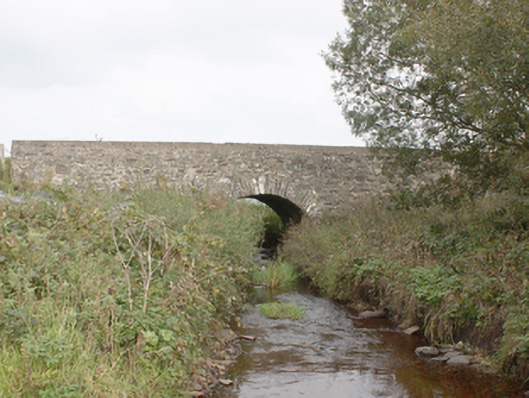 Drumnagassan Bridgebridge · 1400 yd
 Knockergrana Stone Enclosure near Glacknadrummond ChurchEnclosure · 1.2 mi
 Tremone BayBeach / strand · 1.2 mi
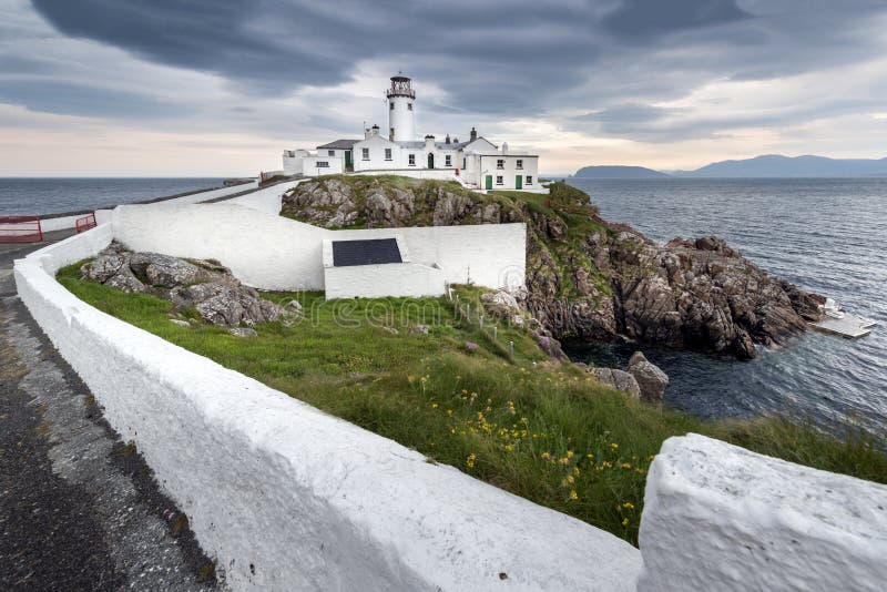 Promontory fortPromontory fort, coastal · 1.4 mi
 CuldaffOfficial bathing water · 2.3 mi
 CastleCastle, unclassified · 2.9 mi
 The Spanish Armada 1588Memorial · 3.5 mi
 CrockaulinMountain / peak · 4.8 mi
 CrockavishaneMountain / peak · 5.0 mi
 Cooley CrossMemorial · 6.1 mi
 Inishowen Maritime Museum and PlanetariumMuseum · 6.6 mi