What is recorded here
Situated on a gentle W-facing slope. A conglomerate stone with a subrectangular cross-section (dims. 0.5m x 0.3-0.6m; H 1.5m) is roughly oriented N-S.
The above description is derived from the published 'Archaeological Inventory of County Waterford' (Dublin: Stationery Office, 1999). In certain instances the entries have been revised and updated in the light of recent research.
Date of upload/revision: 23 December 2008
The monument record does not grant public access. Check the route and ask the landowner before entering private land.
- What survives
- Recorded monument
Places near here
 Whitestown Househouse · 1131 yd
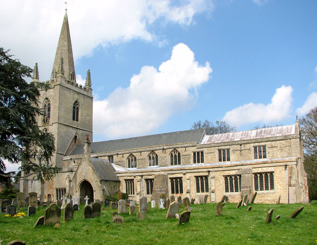 (Site of) All Saints WellHoly well · 1527 yd
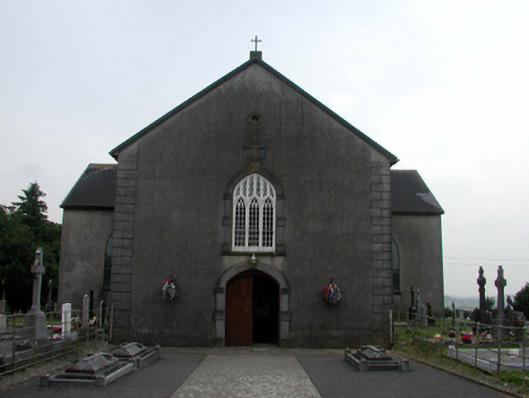 All Saints' Catholic Churchchurch/chapel · 1550 yd
 Embanked enclosureFairy fort / earthen ringfort · 1637 yd
 Site of Cas.Castle, unclassified · 1.8 mi
 8 Arch GalleryGallery · 1.8 mi
 Mandevilles RockCastle, unclassified · 3.0 mi
 St. Bernard's WellSpring · 3.9 mi
 Croughaun HillMountain / peak · 3.9 mi
 St. Martin's WellSpring · 4.2 mi
 Copper CoastCoastal geological landscape · 4.6 mi
 Bunmahon Miners' CottagesVisitor information · 4.7 mi