What is recorded here
Conlon found it standing in 1916 on a south-east facing slope in Ballincrokig. The stone has fallen since then and now lies prostrate in pasture, measuring 2.3 metres long. It lost its vertical presence somewhere between those dates, leaving behind a flat shadow instead of a marker reaching toward the sky.
On pasture on SE-facing slope. Prostrate stone (L 2.3m; 0.53m x 0.25m) fallen since described by Conlon (1916, 74). (Walsh 1984, 114)
The above description is derived from the published 'Archaeological Inventory of County Cork. Volume 2: East and South Cork' (Dublin: Stationery Office, 1994). In certain instances the entries have been revised and updated in the light of recent research.
Date of upload/revision: 14 January 2009
The monument record does not grant public access. Check the route and ask the landowner before entering private land.
- What survives
- Recorded monument
Places near here
 Man-made underground passage in Ballincrokig (cork By., St. Anne’s Shandon Par.)Man-made underground passage · 160 yd
 Iron MillMill, unclassified · 514 yd
 Old MillMill, unclassified · 566 yd
 Murphy's RockViewpoint · 922 yd
 Delaney Brothers MonumentMemorial · 1393 yd
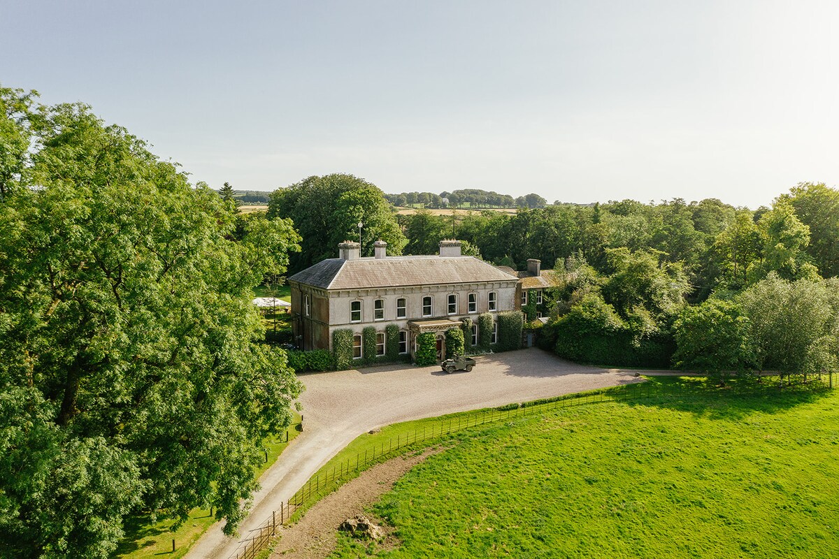 Burnt mound in Ballyvolane (cork By.)Burnt mound · 1554 yd
 Old Cemetery KilcullyMemorial · 1709 yd
 Dublin HillViewpoint · 1.1 mi
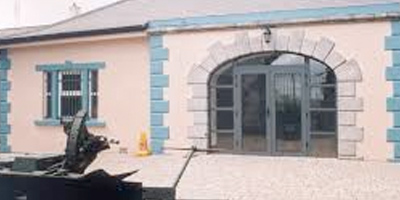 Collins Barracks Military MuseumMuseum · 1.8 mi
 Castle (Site of)Castle, unclassified · 2.0 mi
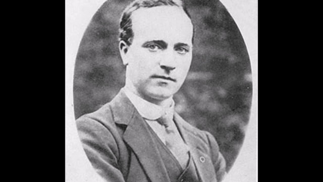 Cork Folklore ProjectMuseum · 2.1 mi
 IndicatedMill, corn · 635 yd