What is recorded here
Described as being 'about 5 feet (1.5m) high and 3 (.9m) thick' (OSNB Kilquane, 26), this standing stone was located c. 100m N of the estuary of the Feohanagh river, on gently sloping pastureland overlooking Smerwick Harbour to SW. No visible trace survives.
The above description is derived from J. Cuppage, ‘Corca Dhuibhne. Dingle Peninsula archaeological survey. Ballyferriter. Oidhreacht Chorca Dhuibhne’ (1986), no. 142. In certain instances the entries have been revised and updated in the light of recent research.
Date of upload: 4 August 2013
Likely dating to the Late Neolithic or Bronze Age, this standing stone may have served a ritual or territorial function, possibly linked to early farming communities in the region. Its location near the estuary suggests a connection to landscape features or water-based trade and movement.
This remains an important historical record, but the official description says the monument is no longer visible or has been destroyed. The monument record does not grant public access. Check the route and ask the landowner before entering private land.
- What survives
- No visible remains or recorded as destroyed
Places near here
 ToberkieranHoly well · 165 yd
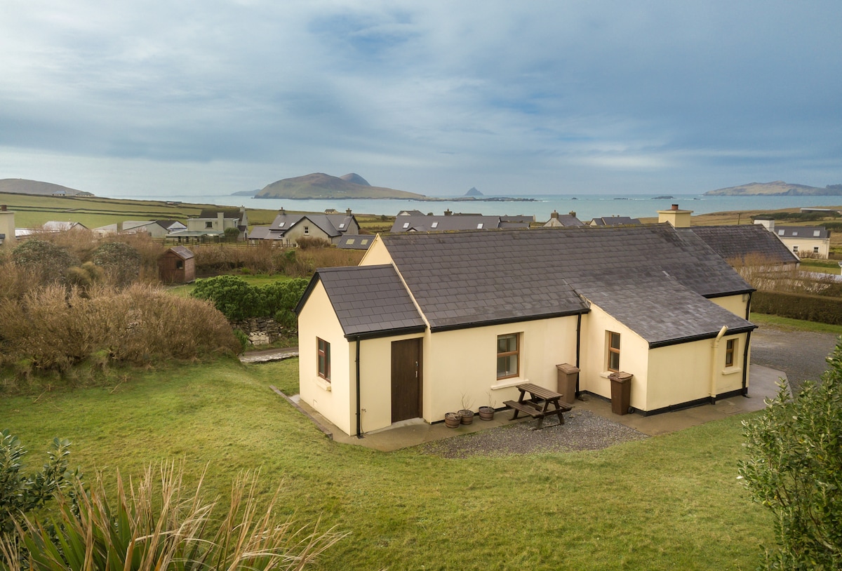 Enclosure in Baile DháithEnclosure · 638 yd
 Ballydavid Signal TowerRuins · 1377 yd
 Ceann Bhaile DháithMountain / peak · 1378 yd
 Moorestown CastleCastle · 1650 yd
 Cúinne an MhionnáinHeadland · 1.2 mi
 Séipéal Bhréanainn [Saint Brendan's Catholic Church]church/chapel · 1.3 mi
 Cuan Ard na CaithneBay · 1.9 mi
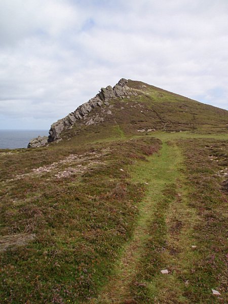 Binn DiarmadaMountain / peak · 2.3 mi
 Brandon CreekViewpoint · 2.4 mi
 Gallarus Castle (in ruins)Castle, tower house · 3.0 mi
 Trá an FhíonaBeach / strand · 3.0 mi