What is recorded here
Two metres of pale rock stand in open grass, one broad at the base and tapering to a point, the other shorter and wider. They are not aligned to mark a road or a field edge. They are positioned to be seen from a distance, perhaps guiding a person home or warning a stranger that this place belongs to memory. The stone does not speak, but it repeats itself in the shape of a finger pointing upward.
Approximately 130m SE of KE043-172---- is another low standing stone measuring 1.18m in height and .75m in width at base, tapering to a point at top; NE-SW.
The above description is derived from J. Cuppage, ‘Corca Dhuibhne. Dingle Peninsula archaeological survey. Ballyferriter. Oidhreacht Chorca Dhuibhne’ (1986), no. 73. In certain instances the entries have been revised and updated in the light of recent research.
Date of upload: 3 August 2013
The monument record does not grant public access. Check the route and ask the landowner before entering private land.
- What survives
- Recorded monument
Places near here
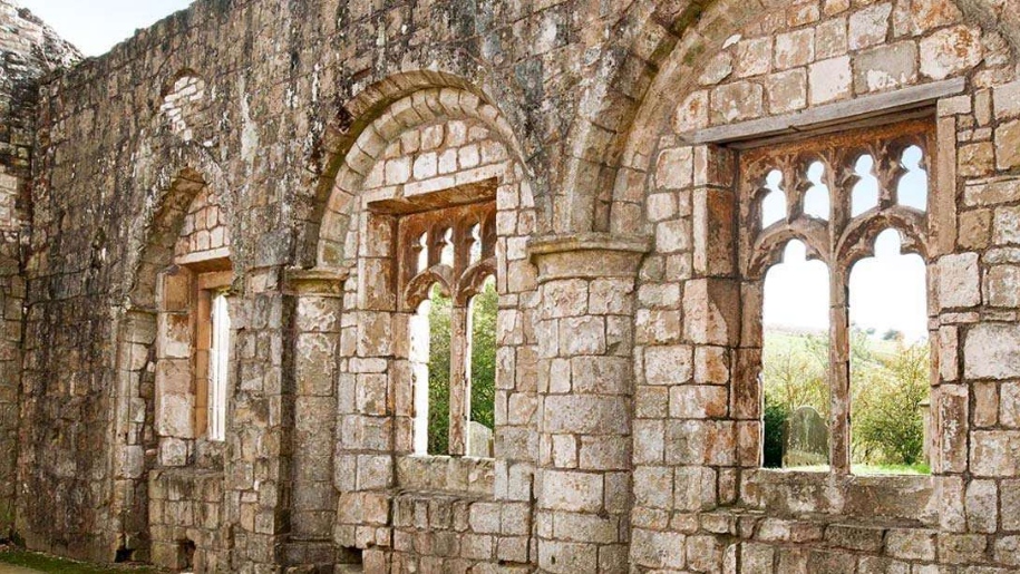 Settlement desertedSettlement deserted, medieval · 245 yd
 Man-made underground passage in Baile An ÁsaighMan-made underground passage · 295 yd
 An ChorrMountain / peak · 677 yd
 Mass-house in An Fearann (tc An Daingean),gort OnóraMass-house · 1.0 mi
 Saint James's Church (Dingle)church/chapel · 1.1 mi
 Castle (Site of)Castle, tower house · 1.2 mi
 Caol Cronin - SeascapesGallery · 1.2 mi
 Charles HaugheyMemorial · 1.5 mi
 Dingle Marina Dive CentreHeritage attraction · 1.6 mi
 Memorial to all who lost their lives in our seas.Memorial · 1.7 mi
 Ballintaggart Ogham StonesVisitor information · 1.8 mi
 An ScraigMountain / peak · 1.9 mi