What is recorded here
Aughareamlagh holds a standing stone from the prehistoric era, its exact purpose lost to time. The stone still rises beside the local ground, waiting for people to notice the patience it has kept. It may have marked a boundary, a meeting place, or a warning about unseen life. In either case, it survived every empire that forgot it.
The official Northern Ireland record identifies this as STANDING STONE. Recorded period: PREHISTORIC; UNCERTAIN. The official map point was placed at the centre of the recorded archaeological site from the source map reference.
Likely dating to the Neolithic or Bronze Age, this standing stone may have served a ceremonial, astronomical, or territorial function. No specific folklore or detailed use is recorded for this site.
The monument record does not grant public access. Check the route and ask the landowner before entering private land.
- What survives
- Recorded monument
Places near here
 ENCLOSURE (part of field system ant 029:070) in AntynanumENCLOSURE (part of field system ant 029:070) · 1.1 mi
 TWO ENCLOSURES & FIELD SYSTEM in AntynanumTWO ENCLOSURES & FIELD SYSTEM · 1.1 mi
 Glenarm ForestForest · 3.0 mi
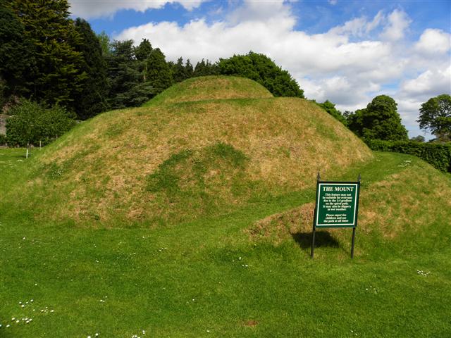 The MountViewpoint · 3.2 mi
 Cranny FallsWaterfall · 3.2 mi
 Collin TopMountain / peak · 3.2 mi
 Glenarm CastleCastle · 3.4 mi
 Millennium MilepostVisitor information · 3.4 mi
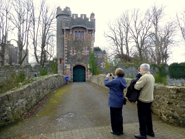 CASTLE (site of) in Town Parks (glenarm)CASTLE (site of) · 3.4 mi
 Presbyterian ChurchChurch · 3.4 mi
 FRANCISCAN FRIARY & CHURCH (in ruins) in Cloney, GlenarmFRANCISCAN FRIARY & CHURCH (in ruins) · 3.5 mi
 Mid HillMountain / peak · 3.7 mi