
What is recorded here
From the Northern Ireland Sites and Monuments Record record LDY025:001
Places near here
Photo credits
- Maker not stated on source page, www.wikidata.org
- Maker not stated on source page, commons.wikimedia.org
- Michael Murtagh, Geograph · CC BY-SA 2.0
- Cormac Duffin, Geograph · CC BY-SA 2.0
- Kenneth Allen, Geograph · CC BY-SA 2.0
- Maker not stated on source page, www.pinterest.com
- Bjmullan ( talk ) ( Uploads ), Wikimedia Commons · CC BY-SA 3.0
- Margaret McLaughlin / The Irish News, www.irishnews.com
- Kenneth Allen, Wikimedia Commons · CC BY-SA 2.0
 Cairn (O.S. memoir site, unlocated) in CoolcoscreaghanCairn (O.S. memoir site, unlocated) · 811 yd
Explorer Tom Cairn in Coolcoscreaghan would bring a bag of chips to a party and sit in the corner judging everyone else. It’s…
 Standing stone (unlocated) in AshlamaduffStanding stone (unlocated) · 973 yd
Explorer Tom Standing stone in Ashlamaduff was likely designed by a mother-in-law who wanted something that would last forever and…
 Carn HillMountain / peak · 1.9 mi
Explorer Tom Carn Hill would order a massive portion of chips with extra gravy if it could get to the chippy downstairs. It's…
 Legananam PotCliff · 2.0 mi
Explorer Tom Legananam Pot in County Derry isn't actually a pot but a glacial meltwater channel, which is a bit of a letdown for…
 Gortnamoyagh ForestForest · 2.1 mi
Explorer Tom The weather has a long-standing grudge against this Gortnamoyagh Forest, sending rain and wind to see if it will…
 Lenamore ForestForest · 2.3 mi
Explorer Tom Lenamore Forest has a poet buried in the ditch nearby who fell in while trying to find inspiration and never quite…
 BenbradaghMountain / peak · 3.3 mi
Explorer Tom Benbradagh means treacherous peak, which is a bit stern for a hill that has already supplied such a fine view. It rises…
 Kevin Lynch Park, Kevin Lynch's GAAGAA ground · 4.4 mi
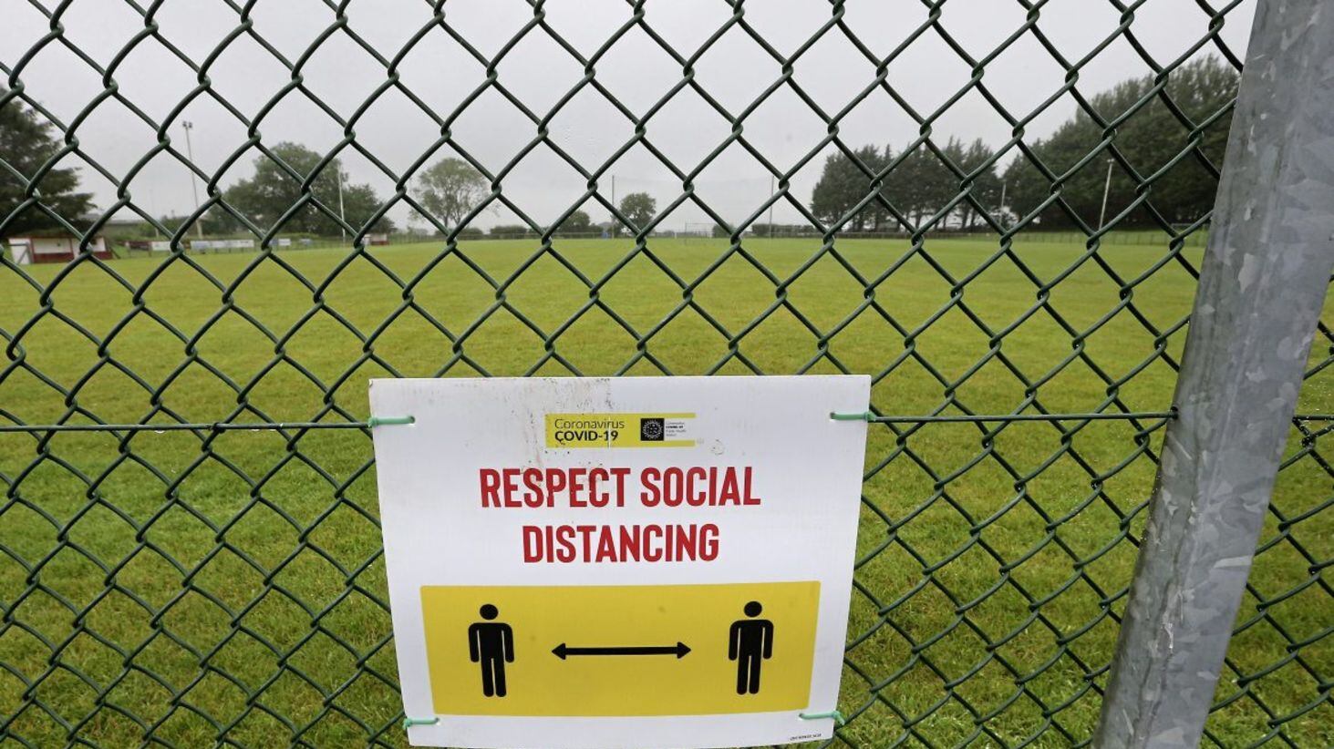 Drumsurn GAA Grounds, St. Matthew's GAA, DrumsurnGAA ground · 4.9 mi
 Dungiven castle (part of walls) in DungivenDungiven Castle (part of Walls) · 5.0 mi
Explorer Tom Dungiven Castle has some walls left, which the local rabbits use as a jungle gym. They think it’s all part of their…
 Dungiven CastleHotel · 5.0 mi
Explorer Tom Dungiven Castle is now a hotel, which means someone’s probably drinking wine in a room called 'The Earl.' Built back in…
 Catholic church & graveyard in Drumsurn LowerR.c. Church & Graveyard · 5.5 mi
Explorer Tom Drumsurn Lower’s Catholic church dates from the 18th century, so it’s seen plenty of bad haircuts and worse decisions.…
More archaeology and monuments in County Derry · All of County Derry

What do you know about this place?Tap to add a comment or ask a question