What is recorded here
Situated in undulating pasture, with extensive views in all directions. St Brigid’s Well (WM031-096----) lies c. 58m to SW. Depicted on the 1837 OS Fair Plan map as a standing stone to E of Brides Well. Levelled monument described in 1982 as no surface remains visible. There is no local memory of a standing stone near the well. Monument is not visible today on Digital Globe aerial photography.
Compiled by Alison McQueen, Vera Rahilly and Caimin O’Brien.
Date of upload: 22 November 2019
Likely dating to the late prehistoric or early Christian period, the stone's proximity to St Brigid’s Well suggests a possible ritual or votive function linked to the veneration of the saint. Its depiction on the 1837 OS map indicates recognition of its significance in the 19th century, though its original form was later lost.
The monument record does not grant public access. Check the route and ask the landowner before entering private land.
- What survives
- Recorded monument
Places near here
 Brides WellHoly well · 66 yd
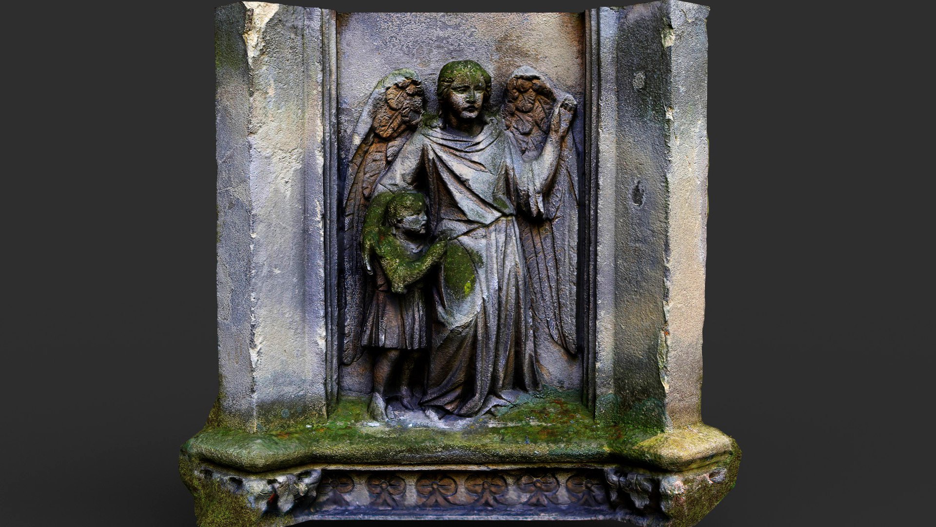 Wall monumentWall monument, effigial · 724 yd
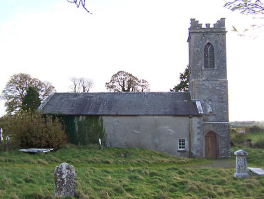 Horseleap Church (Ardnurcher or Horseleap)church/chapel · 734 yd
 Ecclesiastical enclosure in ArdnurcherEcclesiastical enclosure · 743 yd
 Hachured, Wall, HorseleapCastle, motte and bailey · 954 yd
 Syonan CastleCastle · 1601 yd
 Kilmalady HillMountain / peak · 1.8 mi
 ToberaskeenSpring · 3.8 mi
 Chapel HillForest · 3.8 mi
 Roughan HillMountain / peak · 4.0 mi
 High WoodWood · 5.4 mi
 Inchaloon IslandIslet · 5.8 mi