
What is recorded here
Possible ecclesiastical enclosure identified by Swan (1988, 14-15) who recorded that there was evidence of a possible enclosure in the quadrantal form of the boundary wall of the graveyard (WM031-098001-).
Compiled by: Caimin O’Brien
Date of upload: 25 August 2015
A local fairy fort (ringfort/rath); wider significance not recorded.
The monument record does not grant public access. Check the route and ask the landowner before entering private land.
- What survives
- Recorded monument
Places near here
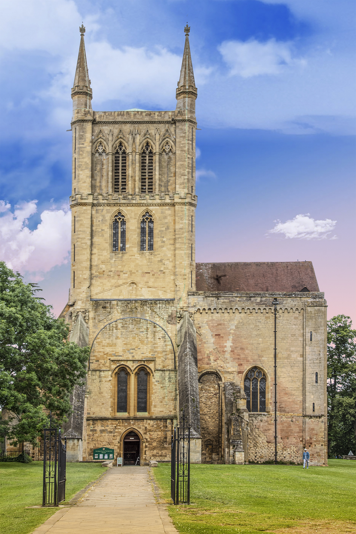 Church, AbbeyChurch · 16 yd
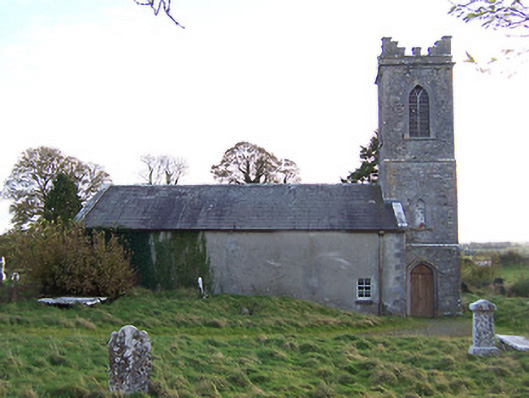 Horseleap Church (Ardnurcher or Horseleap)church/chapel · 19 yd
 Settlement desertedSettlement deserted, medieval · 117 yd
 IndicatedTown defences · 207 yd
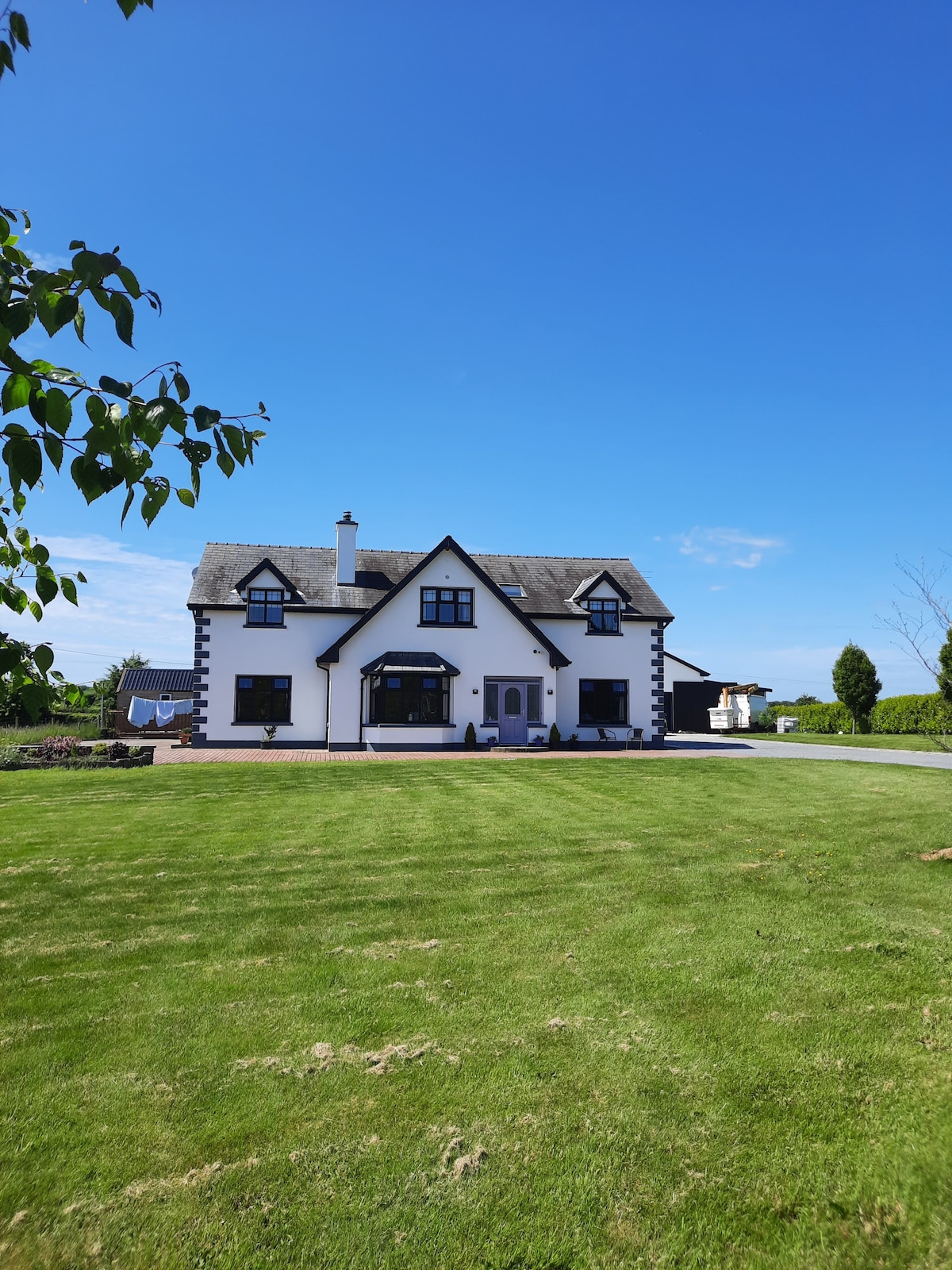 Hachured, Wall, HorseleapCastle, motte and bailey · 226 yd
 OutlinedCastle, ringwork · 1562 yd
 Kilmalady HillMountain / peak · 1.7 mi
 Chapel HillForest · 3.8 mi
 ToberaskeenSpring · 3.9 mi
 Roughan HillMountain / peak · 4.1 mi
 High WoodWood · 5.1 mi
 Clara Bog BoardwalkWalking route · 5.3 mi
Other information
Photo: Credit not shown in the picture search · Rights wording not checked; contact us if this picture should be removed