What is recorded here
The 2nd edition of the OS 6-inch map notes a 'Standing Stone' here. The 3rd edition marks it as 'Standing Stone (site of)'. There are no visible remains. Situated on level pasture land close to the shore of Lough Foyle.
The above description was derived from the 'Archaeological Survey of County Donegal. A description of the field antiquities of the County from the Mesolithic Period to the 17th century.' Compiled by: Brian Lacey with Eamon Cody, Claire Cotter, Judy Cuppage, Noel Dunne, Vincent Hurley, Celie O'Rahilly, Paul Walsh and Seán Ó Nualláin (Lifford: Donegal County Council, 1983). In certain instances the entries have been revised and updated.
Date of upload: 22 September 2008
A local standing stone or piece of rock art; wider significance not recorded.
This remains an important historical record, but the official description says the monument is no longer visible or has been destroyed. The monument record does not grant public access. Check the route and ask the landowner before entering private land.
- What survives
- No visible remains or recorded as destroyed
Places near here
 Laurel Hillhouse · 783 yd
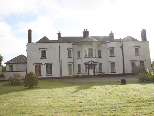 Kilderry Housecountry house · 1189 yd
 Ardmore Earthen RingfortFairy fort / earthen ringfort · 1.0 mi
 Eskaheen GraveyardGraveyard · 1.4 mi
 Former Eskaheen Fairy FortFairy fort / ringfort · 1.6 mi
 Muff ForestWoodland walk · 1.7 mi
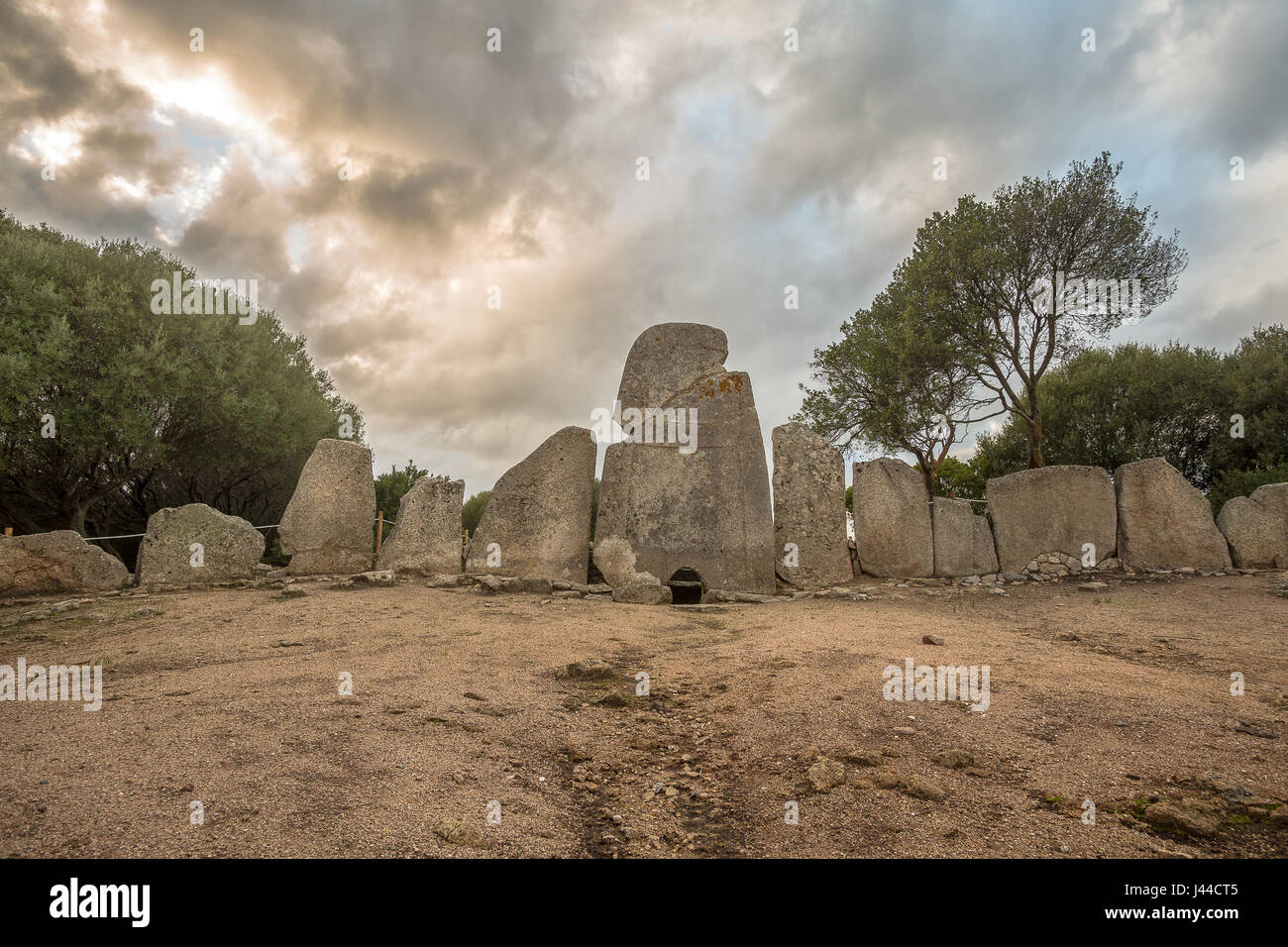 Giant's GraveArchaeological place · 3.2 mi
 Quigley's PointHeadland · 3.8 mi
 Siege of Derry Boom Stone"The Boom Stone" (Traditionally part of 17th century boom across the River Foyle during the Siege of Derry) · 4.5 mi
 Scalp MountainMountain / peak · 4.6 mi
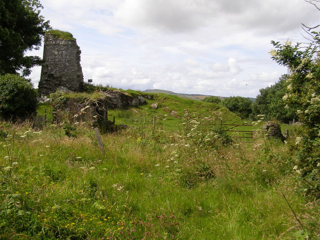 CASTLE & EARTHWORK ENCLOSURE: DOHERTY TOWER or CASTLE AILEACH in Elagh MoreCASTLE & EARTHWORK ENCLOSURE: DOHERTY TOWER or CASTLE AILEACH · 4.9 mi
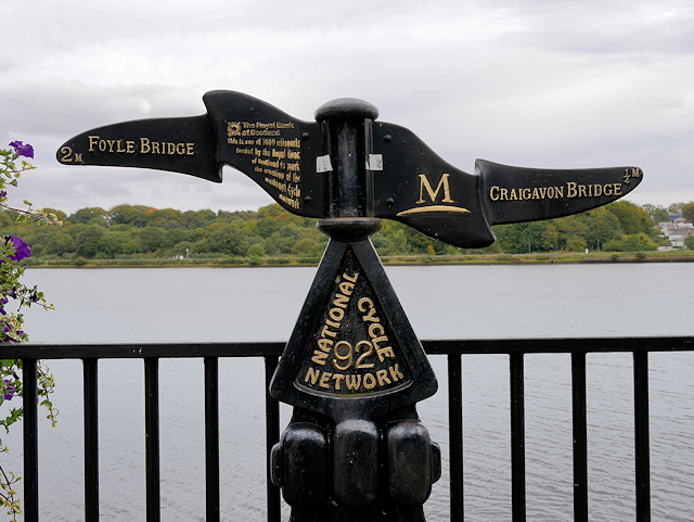 Millennium MilepostVisitor information · 6.3 mi