What is recorded here
Cloghastuckan still lies broken in the sand east of the Dooey Sandhills, but it once rose above a busy mound where craftsmen and farmers lived during the early centuries A.D. The stone marked a place where people worked, worshipped or remembered the dead, and its fall did not erase that life. It tilted the old world into the earth, leaving behind a shape that still resists forgetting.
A standing stone, now collapsed, 2.62m long × 0.31m wide × 0.23m thick tapering to .07m known as 'Cloghastuckan' and the 'Hanging Stone'. It originally stood on a large mound which has been excavated and which produced an extensive collection of material belonging to the Early Historic period (Ó Ríordáin and Rynne 1961, 58-64). The stone is lying in an area of fairly level sand to the E of the Dooey Sandhills. The mound, when excavated, produced evidence for four distinct periods of use, the last of which was as a cemetery. Prior to this, there were three phases of enclosed and unenclosed occupation dating 'to the early centuries A.D.' About 2,000 items were found and indicated 'a community of craftsmen who also practiced agriculture'. This mound, which was located on the Dooey Peninsula, in an area of large sand dunes, is the most important archaeological site of its period so far excavated in Donegal. In the winter of 1980 habitation material was exposed in the sandhills to the W of Cloghastuckan. This consisted of metal slag, animal bones and fire-cracked stones in a charcoal matrix.
The above description was derived from the 'Archaeological Survey of County Donegal. A description of the field antiquities of the County from the Mesolithic Period to the 17th century.' Compiled by: Brian Lacey with Eamon Cody, Claire Cotter, Judy Cuppage, Noel Dunne, Vincent Hurley, Celie O'Rahilly, Paul Walsh and Seán Ó Nualláin (Lifford: Donegal County Council, 1983). In certain instances the entries have been revised and updated.
Date of upload: 22 September 2008
The monument record does not grant public access. Check the route and ask the landowner before entering private land.
- What survives
- Recorded monument
Places near here
 DooeyOfficial bathing water · 1.0 mi
 An Chorr Double Stone RingfortFairy fort / stone ringfort · 1.7 mi
 Former Cullion Fairy FortFairy fort / ringfort · 1.8 mi
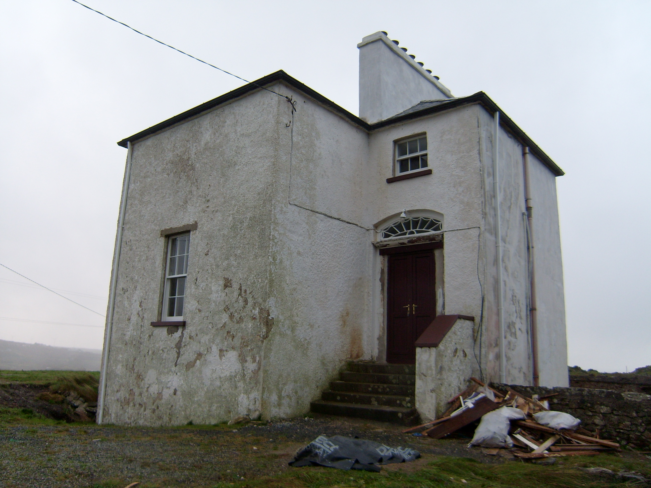 The Old Rectoryrectory/glebe/vicarage/curate's house · 1.9 mi
 Old Church in RuinsChurch · 2.0 mi
 Bonny Glen Wood - Bonny Glen walkOfficial walking route · 2.4 mi
 Bonny Glen WoodForest recreation place · 2.4 mi
 Wych ElmWych Elm · 2.7 mi
 Drumlaghdrid HillMountain / peak · 3.3 mi
 Narin–Portnoo StrandOfficial bathing water · 3.4 mi
 InishkeelIslet · 3.4 mi
 CroaghnamaddyMountain / peak · 4.1 mi