What is recorded here
Three corner stones still mark a forgotten burial ground beside the Fanad road, and a fourth may be hidden inside the western field wall. They are called O'Donnell's stones, but that name tells more about local memory than about the dead who filled the shallow, sea-facing ground. The road works cut through topsoil so deep it seemed almost made for burying people, yet no bone, pot or arrowhead appeared. The stones may be doing something simpler: holding a place steady while the world around them keeps being taken.
A burial ground (DG008-001-), subrectangular in plan and measuring 26m E-W and 22m N-S, is enclosed by a barely traceable grassed-over bank on three sides and by a modern field wall on the W side. Three stones (DG008-001001/002/003-), referred to as O'Donnell's stones, stand along the bank: one is close to the NW corner and is 1.1m in height and 0.35m by .27m in plan; a second stands on the NE corner and is squarish in plan and 0.85m in height; the third is on the SE corner and measures .8m by .35m in plan and is 1.45m in height. A fourth stone(DG008-001004-), now incorporated in the field wall on the W side, may be a companion to the above three, but there is no certainty about this. In the interior there is a plain cross of relatively modern date. The site is on level ground in a light-soiled area. The sea is visible to the N.
The above description was published in the 'Archaeological Survey of County Donegal. A description of the field antiquities of the County from the Mesolithic Period to the 17th century.' Compiled by: Brian Lacey with Eamon Cody, Claire Cotter, Judy Cuppage, Noel Dunne, Vincent Hurley, Celie O'Rahilly, Paul Walsh and Seán Ó Nualláin (Lifford: Donegal County Council, 1983).
Date of upload: 22 September 2008
Excavation licence number 02E0571
It was proposed to realign part of the minor road from Fanad Head lighthouse to Ballynabrocky in County Donegal. The road is narrow and very twisty, and in certain places, where local conditions allow, it is being straightened. For the vast majority of the scheme, the road surface is simply being upgraded, with the existing verges being incorporated to make the carriageway as wide as possible. However, the section of works that passes close to SMR 8:1, Balloor burial-ground, will involve some greenfield take on the northern side of the present road.
Mechanical stripping of the topsoil took place using a toothless bucket. The entire area of the road-take was stripped, revealing topsoil to be both remarkably deep and well developed, given the location. At the western end the topsoil, a maximum of 0.6m deep, was a dark brown, sandy loam, which rested on a dark yellow/brown, stony, sandy loam. Toward the centre of the stripped area, granite bedrock was close to the surface, with a consequent decrease in topsoil depth, to less than 0.15m. This depth increased to over 0.4m at the eastern end of the area. Nothing of archaeological significance was noted either within the over-deepened topsoil or cut into the natural below. (Excavations Bulletin 2002)
Eoin Halpin, ADS Ltd, Unit 48, Westlink Enterprise Centre, 30-50 Distillery Street, Belfast BT12 5BJ.
The monument record does not grant public access. Check the route and ask the landowner before entering private land.
- What survives
- Recorded monument
Places near here
 An Baile Úr Stone RingfortFairy fort / stone ringfort · 306 yd
 St. Patricks WellHoly well · 310 yd
 Fanad Head Lighthouse Visitor CentreVisitor information · 1549 yd
 Fanad Coastguard Stationcoastguard station · 1610 yd
 Fanad Headcoast · 1689 yd
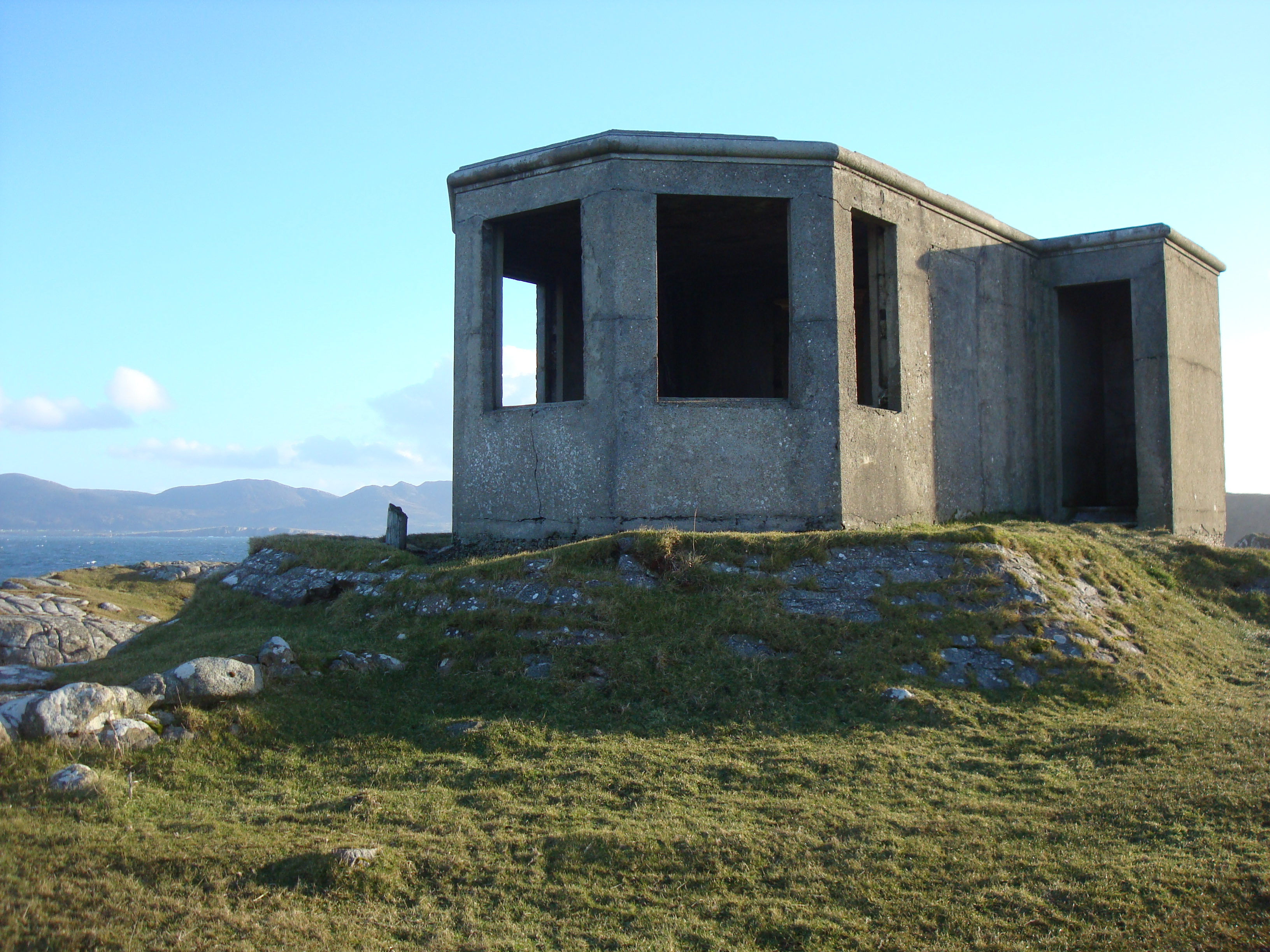 LOP 79watch tower · 1723 yd
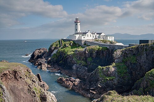 Fanad Head LighthouseLighthouse · 1.0 mi
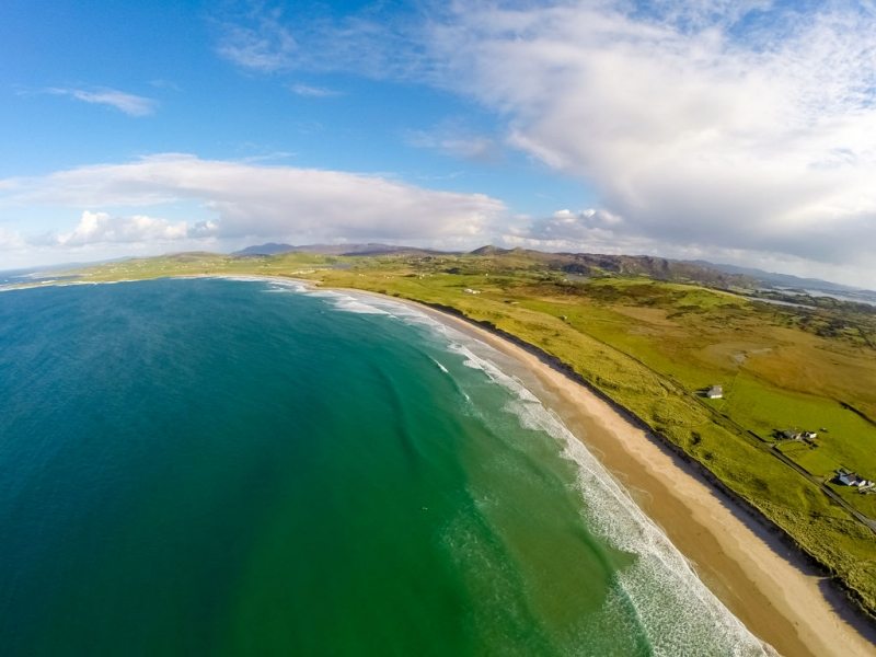 Ballyhiernan, FanadOfficial bathing water · 2.3 mi
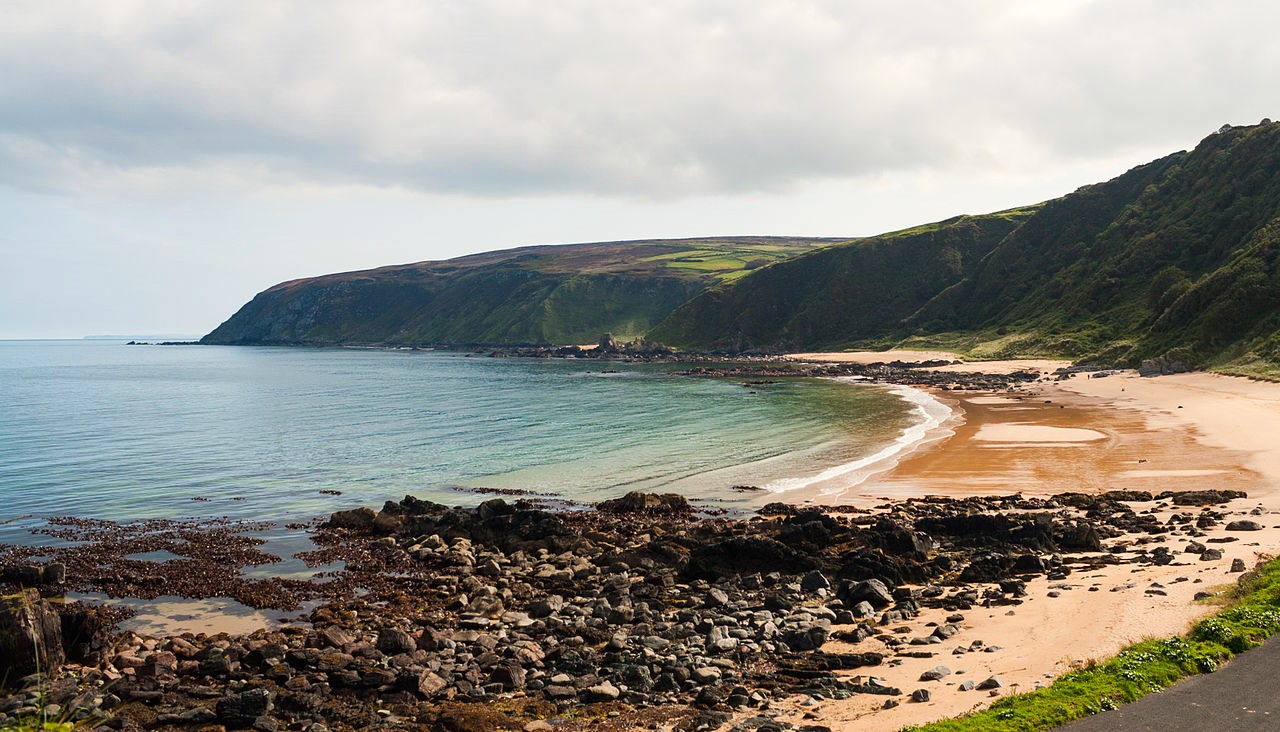 Drumnacraig BeachBeach / strand · 2.7 mi
 HazelHazel · 3.1 mi
 Old CastleCastle, unclassified · 3.4 mi
 Wych ElmWych Elm · 3.7 mi