
What is recorded here
Internal diam. 20m-22m. A subcircular area enclosed by a much defaced and grassed-over stone wall. Some large stones are visible on edge and in places rock outcrop is utilized in the wall. On the E a modern stone wall runs along the ruined cashel wall. The W half of the interior is level but the E half slopes upwards from W to E due to the occurrence of rock outcrop. The cashel is on a prominent circular knoll of rock in undulating coun-tryside marked by similar knolls. There is good graz-ing in the vicinity.
The above description was derived from the 'Archaeological Survey of County Donegal. A description of the field antiquities of the County from the Mesolithic Period to the 17th century.' Compiled by: Brian Lacey with Eamon Cody, Claire Cotter, Judy Cuppage, Noel Dunne, Vincent Hurley, Celie O'Rahilly, Paul Walsh and Seán Ó Nualláin (Lifford: Donegal County Council, 1983). In certain instances the entries have been revised and updated.
Date of upload: 22 September 2008
An Baile Úr Stone Ringfort is a subcircular early-medieval defensive structure, likely dating to between the 5th and 10th centuries AD, with an internal diameter of 20–22 metres. Local tradition associates such sites with fairy dwellings, and the name "An Baile Úr" (The New Town) may hint at a historical or legendary settlement linked to otherworldly or prehistoric inhabitants.
The monument record does not grant public access. Check the route and ask the landowner before entering private land.
- What survives
- Recorded monument
Places near here
 St. Patricks WellHoly well · 288 yd
 Fanad Head Lighthouse Visitor CentreVisitor information · 1638 yd
 Fanad Coastguard Stationcoastguard station · 1678 yd
 Fanad Headcoast · 1741 yd
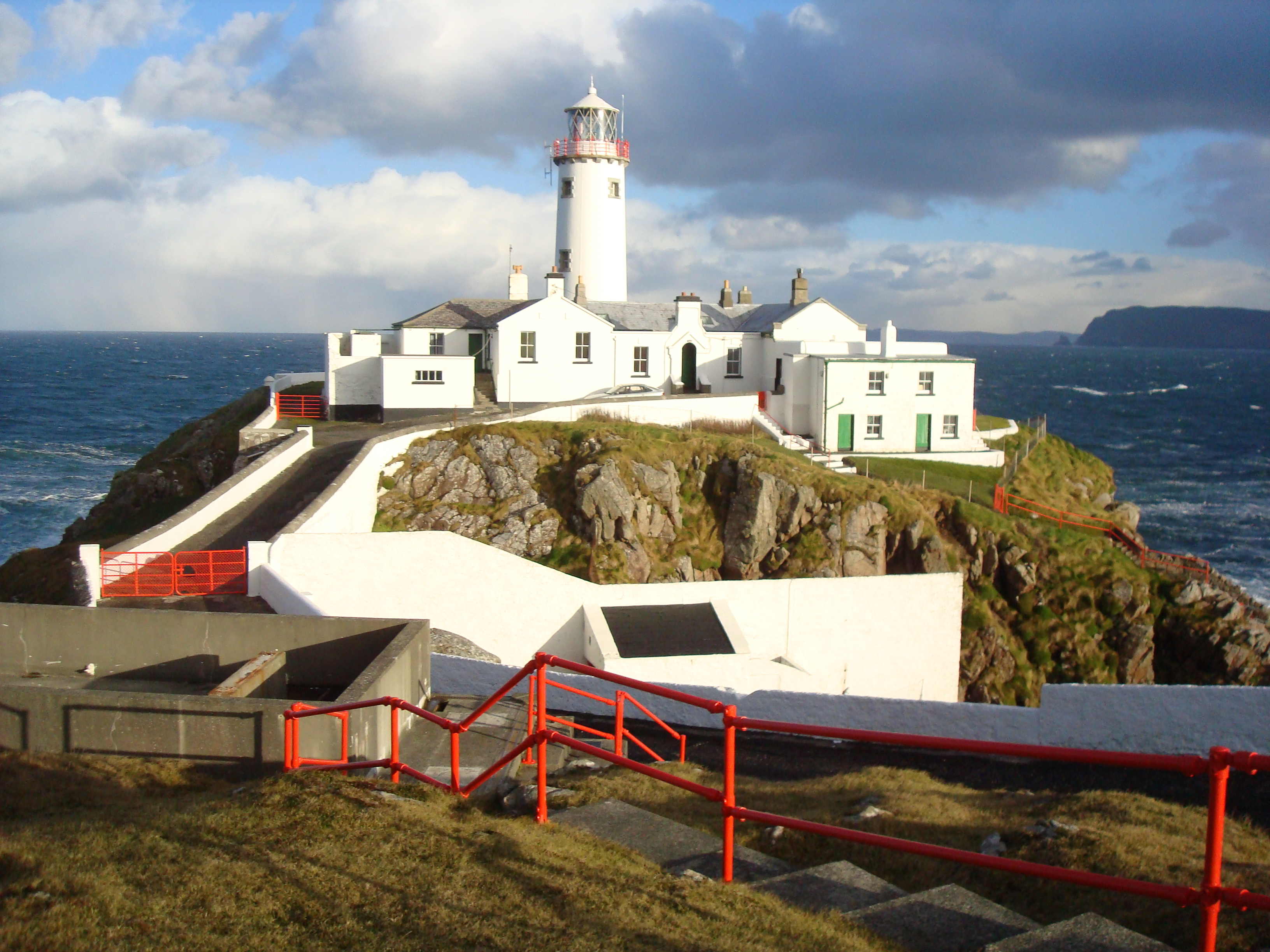 Fanad Lighthouselighthouse keeper's house · 1.0 mi
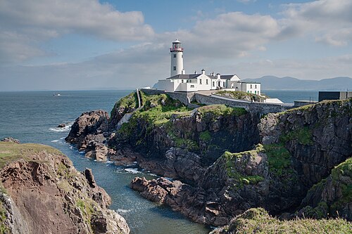 Fanad Head LighthouseLighthouse · 1.0 mi
 Fairy fort / stone ringfort in Cionn An LochaFairy fort / stone ringfort · 1.7 mi
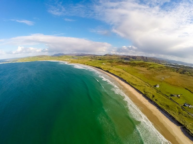 Ballyhiernan, FanadOfficial bathing water · 2.3 mi
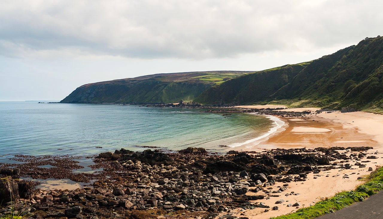 Drumnacraig BeachBeach / strand · 2.6 mi
 HazelHazel · 2.9 mi
 Old CastleCastle, unclassified · 3.2 mi
 Wych ElmWych Elm · 3.6 mi
Other information
Photo: Credit not shown in the picture search · Rights wording not checked; contact us if this picture should be removed