
What is recorded here
Standing Stone marks a pre-historic enclosure in Aghatirourke, County Fermanagh, where human hands shaped the earth long before written memory. It is not a grand castle or a polished monument; it is a quiet line in the landscape, waiting to be seen. People may have gathered there to mark seasons, settle disputes or simply watch the sky turn. The stone still stands because someone once believed that place mattered enough to arrange.
Standing Stone is recorded as a archaeological place in County Fermanagh. Its open map record supplies this location and any linked names or public references.
Places near here
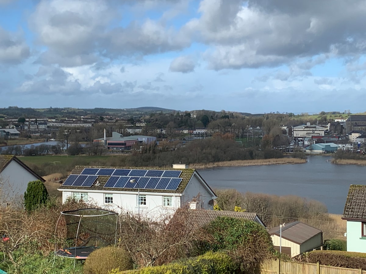 ENCLOSURE in CarntroneENCLOSURE · 1072 yd
 HOLY WELL: EYE WELL in StranafeleyHOLY WELL: EYE WELL · 1348 yd
 Goods ShedOutbuildings · 2.3 mi
 The Station House, BrookeboroughHeritage attraction · 2.3 mi
 Railway Station PlatformRailway Station Structures · 2.3 mi
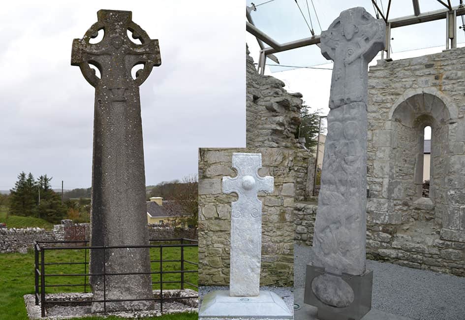 Celtic High CrossHeritage attraction · 2.5 mi
 CASTLE: CASTLE BALFOUR in Castle Balfour DemesneCASTLE: CASTLE BALFOUR · 2.6 mi
 Castle BalfourCastle · 2.6 mi
 Leitrim WoodWood · 2.8 mi
 Bunnisnagapple ForestForest · 3.7 mi
 EschleaghMountain / peak · 4.1 mi
 Rabbit IslandIsland · 5.2 mi
Other information
Photo: Credit not shown in the picture search · Rights wording not checked; contact us if this picture should be removed