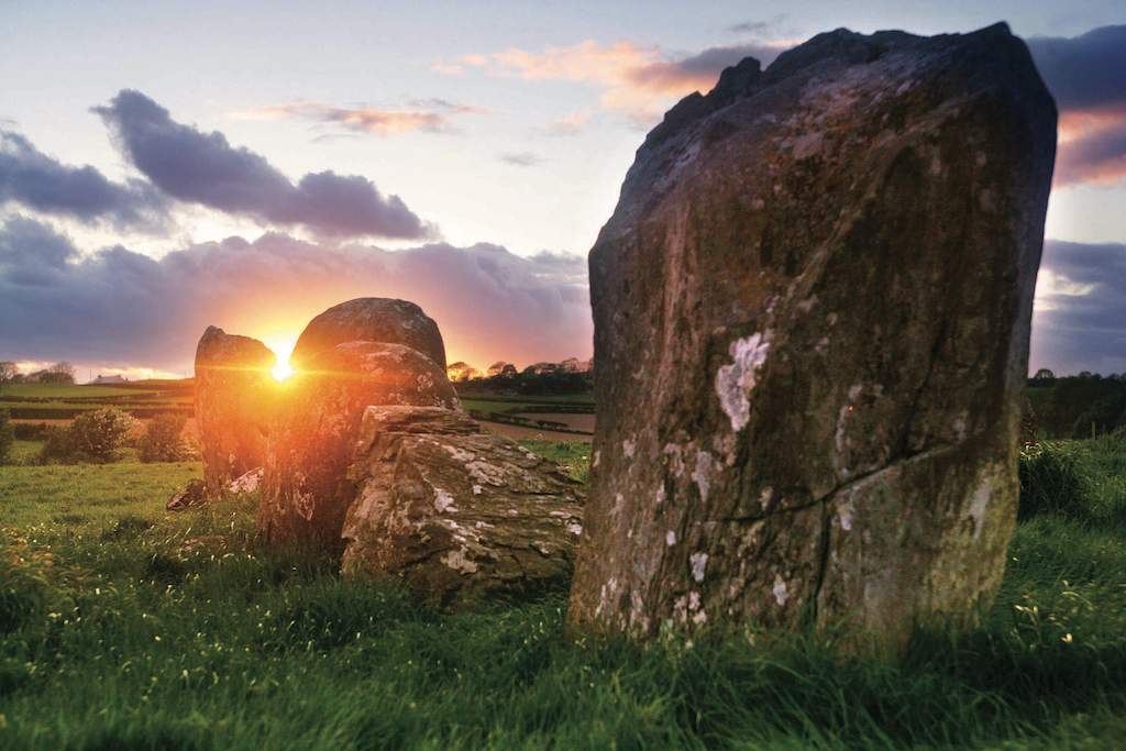
What is recorded here
From OpenStreetMap (© OpenStreetMap contributors) n10735292789
Places near here
Photo credits
- Eric Jones, Geograph · CC BY-SA 2.0
- Maker not stated on source page, commons.wikimedia.org
- Maker not stated on source page, irelandonabudget.com
- Brian Shaw, Wikimedia Commons · CC BY-SA 2.0
- Albert Bridge, Geograph · CC BY-SA 2.0
- Maker not stated on source page, ca.pinterest.com
- Eric Jones, Wikimedia Commons · CC BY-SA 2.0
- Kenneth Allen, Wikimedia Commons · CC BY-SA 2.0
- Jonny McCullagh, Wikimedia Commons · CC BY-SA 2.0
 Backaderry WoodForest · 649 yd
Explorer Tom Backaderry Wood is a piece of Drumkeeragh Forest in County Down, where the trees get the first word and the views make…
 SlieveniskyMountain / peak · 1331 yd
Explorer Tom Slievenisky is bragging about being four hundred and forty-six metres tall, which sounds impressive until you realise…
 Enclosure in SlieveniskyEnclosure · 1.0 mi
Explorer Tom Enclosure in Slievenisky is writing its dating profile right now, claiming to be a castle. It’s lying through its teeth…
 Legananny Cross StoneMonument · 1.3 mi
Explorer Tom Legananny Cross Stone was dedicated to a bad poem someone wrote about its shape, which rhymed stone with bone. The…
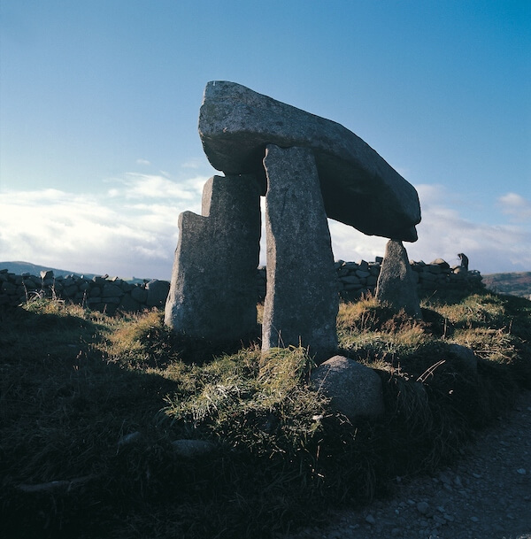 Graveyard With Cross-inscribed Pillar Stone in LeganannyGraveyard With Cross-inscribed Pillar Stone · 1.3 mi
Explorer Tom Legananny graveyard has a cross-inscribed pillar stone that would write 'single, likes old stones' on its dating…
 Slieve CroobMountain / peak · 1.4 mi
Explorer Tom Slieve Croob sends the River Lagan off toward Belfast, then stays in County Down to enjoy the view. At 534 metres it…
 Slieve Croob Transmitter Road walkWalking route · 1.7 mi
Explorer Tom Slieve Croob Transmitter Road walk is haunted by a ghost who is too lazy to actually haunt anyone properly. He just…
 Red Kite Country - Lighthouse Road carparkVisitor information · 3.3 mi
Explorer Tom Red Kite Country - Lighthouse Road carpark gave up red meat for Lent, which is weird since there are no kites, just…
 Welcome to Lighthouse Road ViewpointVisitor information · 3.3 mi
Explorer Tom Welcome to Lighthouse Road Viewpoint would be the uncle at a wedding who stands by the bar, looking out the window…
 Wood LodgeHouse · 4.2 mi
Explorer Tom Wood Lodge in County Down is a Grade B+ house that thinks it’s way more impressive than the average shed. I bet it has…
 Ballyward HouseHouse · 4.2 mi
Explorer Tom Ballyward House is an early 1800s grand dame that definitely bragged about surviving a massive storm in 1953 and…
 Square Days and Fair DaysSculpture · 4.4 mi
Explorer Tom Square Days and Fair Days is a sculpture that would write on its dating profile: 'Looking for someone who appreciates…
More archaeology and monuments in County Down · All of County Down

What do you know about this place?Tap to add a comment or ask a question