What is recorded here
standing stone is recorded as a archaeological place in County Down. Its open map record supplies this location and any linked names or public references.
Places near here
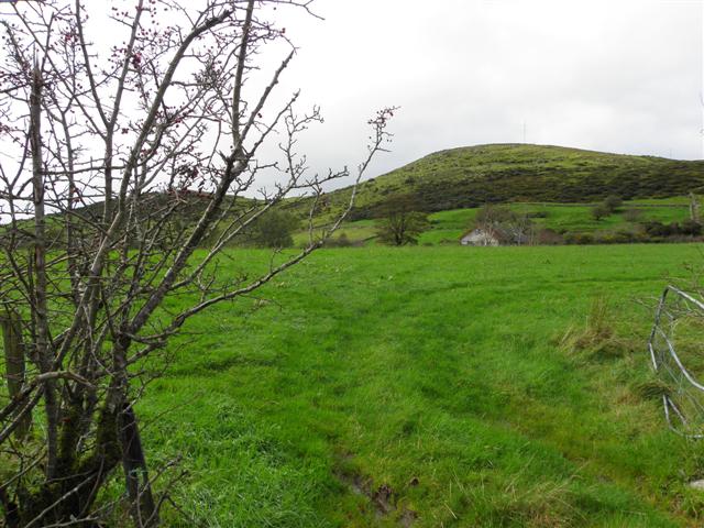 Deehommed MountainMountain / peak · 671 yd
 Historic Settlement Dechomet in DeehommedHistoric Settlement Dechomet · 1065 yd
 CHURCH & GRAVEYARD: DRUMGOOLAND in DeehommedCHURCH & GRAVEYARD: DRUMGOOLAND · 1331 yd
 SlievenaboleyMountain / peak · 1648 yd
 The Moat PadWalking route · 1678 yd
 ENCLOSUREENCLOSURE, rath · 1725 yd
 Drumgooland Presbyterian ChurchChurch · 1.0 mi
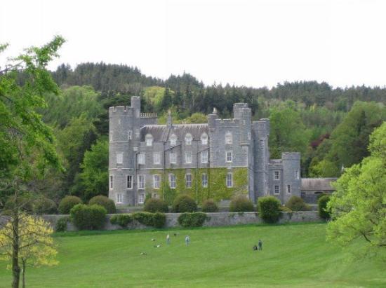 CROSS, formerly built into school, now at Castlewellan Forest Park in DrumadonnellCROSS, formerly built into school, now at Castlewellan Forest Park · 1.8 mi
 CASTLE & RATH reused as BAILEY: SEAFIN CASTLE; Magh Cobha; Moycove in SeafinCASTLE & RATH reused as BAILEY: SEAFIN CASTLE; Magh Cobha; Moycove · 2.9 mi
 Backaderry WoodForest · 4.0 mi
 Slieve Croob Transmitter Road walkWalking route · 4.0 mi
 The Brontë CentreVisitor information · 4.4 mi