What is recorded here
A well is marked on the 1839 and 1925 eds of the OS 6-inch map and described in gothic lettering on both as St. Vogue’s Well. According to John O’Donovan writing c. 1840 the pattern was held on January 20 (O’Flanagan 1933, vol. 1, 297), which is the feast day of St. Féichín, one of the most mythologised of the Irish saints (Ó Riain 2011, 309-11) but the likely patron of the church (WX053-035001-) which is c. 100m to the WNW. Walsh (1921-5) must be mistaken in recording the date of the pattern as February 24. Stokes (1893) equated the local name Vauk with the French saint Vogue, who is associated with Lan Veoc, south of the bay of Douarnenez, in Brittany, claiming Vogue for Ireland. However, Dalton (1920, 19-20) debunks the connection and through the linguistics of what he calls the Flemish language of the Anglo-Norman settlers identifies the saint as St. Féichín of Fore, Co. Westmeath (WM004-035003-). In one pedigree Féichín was of the Fothairt group of tribes, from which the Forth barony name is derived. He is associated with a number of early monasteries in the N and W of Ireland, including Ballysadare, Co. Sligo, Cong, Co. Mayo and Omey Island, Co. Galway, but he is principally associated with Fore (Gwynn and Hadcock 1970, 36). Féichín was thought to have been devoted to the monastic life and to have died of the plague c. AD 665-8 (Ó Riain 2011, 309-11). The well is located on a slight E-facing slope and was described (Stokes 1893, 384) as having steps leading down to the water ‘2 feet deep (c. 0.6m)’. The well was surrounded on three sides by a stone wall and had a cure for toothache. It was excavated (E000143) in 1975 when it was determined that the original well had been almost completely removed, and only two stones remained in place (Cahill and Lynch 1975-6, 56-8). The well is now a natural spring with a stream (Wth of base c. 2m; D below exterior c. 1m) leading NE from it to a NW-SE stream. It is surrounded by a scrub-covered earthen bank that is probably spoil, and there is an earthen bank on the S side of the stream.
A well is marked on the 1839 and 1925 eds of the OS 6-inch map and described in gothic lettering on both as St. Vogue’s Well. According to John O’Donovan writing c. 1840 the pattern was held on January 20 (O’Flanagan 1933, vol. 1, 297), which is the feast day of St. Féichín, one of the most mythologised of the Irish saints (Ó Riain 2011, 309-11) but the likely patron of the church (WX053-035001-) which is c. 100m…
From the National Monuments Service (Archaeological Survey of Ireland) record WX053-036
The monument record does not grant public access. Check the route and ask the landowner before entering private land.
- What survives
- Recorded monument
Places near here
Hut site in St. Vogue'sHut site · 116 ydHole of the ForlornBeach / strand · 481 ydThe Caravan RockNamed rock · 680 ydThe CaamstoneNamed rock · 1272 ydCastleCastle, tower house · 1483 yd Clougheast CottageHouse · 1703 ydParle's ForgeHouse · 1755 ydThe Chour / The Hill of the ChourMountain / peak · 1.3 miLifeboat MemorialMemorial · 1.5 miCarne BeachBeach / strand · 1.6 miWindmill (Corn) (Disused)Windmill · 3.5 miCastleCastle, tower house · 4.1 mi
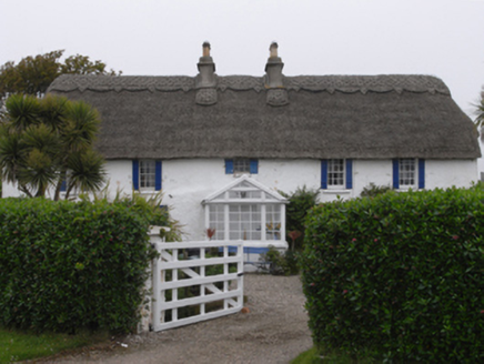 Clougheast CottageHouse · 1703 yd
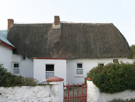 Parle's ForgeHouse · 1755 ydThe Chour / The Hill of the ChourMountain / peak · 1.3 mi
 Lifeboat MemorialMemorial · 1.5 mi
 Carne BeachBeach / strand · 1.6 mi
 Windmill (Corn) (Disused)Windmill · 3.5 mi
 CastleCastle, tower house · 4.1 mi
Pictures: National Inventory of Architectural Heritage; Ojsyork, Wikimedia Commons · CC BY 4.0; User Ali-oops on en.wikipedia, Wikimedia Commons · GFDL; DeFacto, Wikimedia Commons · CC BY-SA 4.0; Cozzmick, Wikimedia Commons · CC BY-SA 4.0
More archaeology and monuments in County Wexford · All of County Wexford
What do you know about this place?