What is recorded here
On W side of graveyard (CO073-05001-), C of I church, still in use. 1842 OSmap distinguishes present church from 'Carrigrohane Church (in ruins)' in NE corner of graveyard, however subsequent editions (1902 and 1939) mark present church as 'on site of' earlier church. Smith (1750, vol. 1, 355) mentions 'a new church, erected upon the ruins of the old one'; 19th-century report states 'one church, built about the year 1628' (Brady 1867, vol. 1, 70); church reported 'in repair' in 1615 and 'good' in 1639 (ibid, 66); possibly 1842 ruins in NE corner of graveyard were remains of ancient parish church mentioned in 1291 as 'ecclesia de Carrigraffen' (ibid., 65), whilst present site had church since early 17th century but rebuilt in 18th century. Described by Lewis (1837, vol. 1, 281) as 'small plain edifice' and Windele (1844, 254) as 'small and unpretending church'. Described by Cole (1903, 34) as 'much improved...the chancel, west end, and tower and spire erected in 1851...the annexe to the body of the church was built...in 1866-7...cut stone spire erected in 1896-7'. Church has gabled nave and chancel (only slightly narrower than nave); nave aisle to S extends tovestry flanking chancel; gabled entrance porch on N side of nave with free-standing spire on W side; throughout of 19th century appearance. Core of 17th-century church contained in N wall of nave according to local information; this section of wall has gentle batter, masonry also of different appearance to rest of church; brick relieving arch just E of entrance porch may date from 18th century rebuilding.
The above description is derived from the published 'Archaeological Inventory of County Cork. Volume 2: East and South Cork' (Dublin: Stationery Office, 1994). In certain instances the entries have been revised and updated in the light of recent research.
Date of upload/revision: 14 January 2009
St Peter's Church at Carrigrohane is a Church of Ireland church, built in the 19th century, with the 1842 Ordnance Survey map indicating the presence of an earlier, now ruined church on the site. The current church is still in use and is situated within an active graveyard.
The monument record does not grant public access. Check the route and ask the landowner before entering private land.
- What survives
- Recorded monument
Places near here
 Saint Peter's Church (Carrigrohane)church/chapel · 3 yd
 Grave YardGraveyard · 49 yd
 Carrigrohane Castlecountry house · 211 yd
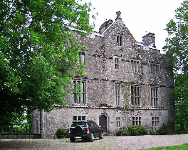 Carrigrohane Castle (in Ruins)Castle, Anglo-Norman masonry castle · 217 yd
 Grave YdGraveyard · 1160 yd
 Stone BeachBeach / strand · 1275 yd
 Conor LuceyMemorial · 1.1 mi
 BallyCannon Boys MemorialMemorial · 1.1 mi
 Murphy's FarmHeritage attraction · 1.4 mi
 Welcome to KillardVisitor information · 1.8 mi
 Blarney lake bird nest islandIslet · 1.9 mi
 Sunday WellSpring · 2.0 mi