What is recorded here
In poorly draining low lying land just 25m S of 'St. Brigid's Well' (SL014-038001-). There are three holy wells in close proximity here and there is some discrepency as to the designation applied to each on the 1837 and 1940 editions of the OS 6-inch map. On the 1940 edition of the OS 6-inch map this monument bears the name 'St. Patrick's Well'. However on the 1837 map it has the designation 'Lady Well'. The ground level to the NE of the holy well has been raised in recent times with hardcore and no surviving remains were identified.
Compiled by: Patrick F. O'Donovan
Date of upload: 21 April 2011
St. Patrick’s Well, Scardan Beg is associated with the veneration of St. Patrick and may have been used for healing or baptismal rites, common at many early Christian holy wells in Ireland. The presence of multiple nearby wells dedicated to different saints suggests a historically significant spiritual or pilgrimage site, possibly linked to early monastic activity.
The monument record does not grant public access. Check the route and ask the landowner before entering private land.
- What survives
- Recorded monument
Places near here
 Lady WellHoly well · 10 yd
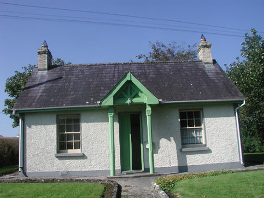 Rathcarrick Housegate lodge · 33 yd
 Enclosure in Scardan BegEnclosure · 459 yd
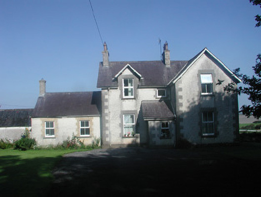 The Rectoryrectory/glebe/vicarage/curate's house · 1.1 mi
 Knocknarea trailWalking route · 1.3 mi
 KnocknareaMountain / peak · 1.4 mi
 Doonanpatrick IslandIslet · 1.5 mi
 Castle (in Ruins)Castle, unclassified · 1.6 mi
 The GlenWood · 1.9 mi
 Carrowmore Visitors CentreVisitor information · 2.0 mi
 Carrowmore Megalithic CemeteryHeritage attraction · 2.0 mi
 Oyster IslandIslet · 2.1 mi