
What is recorded here
Marked on the 1839 and 1941 eds of the OS 6-inch map, and described in gothic lettering as ‘St.Patrick’s Well’ on both. It is located in a slight fold on a SE-facing slope overlooking the NW shore of the inner Wexford Harbour. This is a circular well (diam. 1.15-1.2m; D 0.7m) defined by drystone walling and approached by a passage (L 0.75m; Wth 0.6m) and steps from the N. There is no evidence of veneration and John O’Donovan writing c. 1840 recorded the name but said that it was not regarded as holy (O’Flanagan 1933, vol. 1, 349). (Frayne 1974-5, 56)
Compiled by: Michael Moore
Date of upload: 18 December, 2012
Linked to St. Patrick, the well is traditionally associated with healing and spiritual purification, reflecting the widespread veneration of the saint at holy wells across Ireland. The site's long-standing presence on Ordnance Survey maps suggests continuity in local reverence, though specific cures or rituals connected to it are not recorded.
The monument record does not grant public access. Check the route and ask the landowner before entering private land.
- What survives
- Recorded monument
Places near here
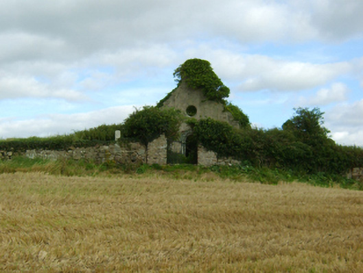 graveyard/cemeterygraveyard/cemetery · 102 yd
 CrossCross, Churchyard cross · 118 yd
 RoadRoad, road/trackway · 140 yd
 Artramon CastleCastle, tower house · 1.0 mi
 St. Bridgets WellHoly well · 1.0 mi
 Passage TowerCastle, tower house · 1.2 mi
 Ferrycarrig AmbushMemorial · 1.3 mi
 CrannogHeritage attraction · 1.5 mi
 Irish National Heritage ParkHeritage attraction · 1.6 mi
 Peace GardenMemorial · 2.3 mi
 Rectory Hall ForestWood · 2.4 mi
 Ballywish SouthForest · 2.7 mi
Other information
Photo: Credit not shown in the picture search · Rights wording not checked; contact us if this picture should be removed