
What is recorded here
Located on a gentle S-facing slope extending from the parish church of Kilpatrick (WX037-017001-) down towards the NW shore on the inner Wexford Harbour which is c. 700m to the SE of the church. Aerial photographs (ASIAP, WX 70, 1 5) show the cropmark of a roadway (L c. 200m) approaching the E edge of the graveyard from the S.
Compiled by: Michael Moore
Date of upload: 18 December, 2012
The monument record does not grant public access. Check the route and ask the landowner before entering private land.
- What survives
- Recorded monument
Places near here
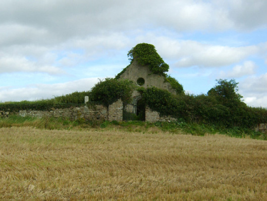 graveyard/cemeterygraveyard/cemetery · 118 yd
 St. Patricks WellHoly well · 140 yd
 CrossCross, Churchyard cross · 142 yd
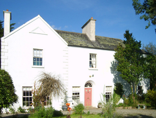 Saunders Courtcountry house · 365 yd
 Artramon CastleCastle, tower house · 1.1 mi
 Site of CastleCastle, unclassified · 1.8 mi
 Falla SeilscearMemorial · 2.2 mi
 Peace GardenMemorial · 2.3 mi
 The Collins-Grant GalleryGallery · 2.4 mi
 Rectory Hall ForestWood · 2.4 mi
 Three Sisters River CruisesHeritage attraction · 2.4 mi
 Dawn RedwoodDawn Redwood · 2.8 mi
Other information
Photo: Credit not shown in the picture search · Rights wording not checked; contact us if this picture should be removed