
What is recorded here
St. Patrick’s Well in County Galway lost its sanctity before it lost its shape, fading from living memory by 1838 and from visible earth by 1984. What remains is a low mound of field-clearance stones beside a bullaun stone, perhaps marking the place where water once gave back what people gave it. The well may have drunk up devotion until there was none left to pour, leaving only a circle of stones to outline its absence.
In reclaimed pastureland. Named ‘St Patrick’s Well’ on the 1838 and 1946 editions of the 6-inch OS maps. According to the OS Letters, this holy well was said to be ‘fast losing its sanctity’ by 1838(O’Flanagan 1927, Vol. 2, 49). On inspection in 1984, no visible surface trace of it survived. Its site was marked by a low subcircular mound (c. 8m E-W, 6m N-S, H 0.2m) of loose field-clearance stones. A bullaun stone (GA118-060001-) lies immediately to its E.
Compiled by: Galway Archaeological Survey, UCG
Date of upload: 18 April 2023
St. Patrick’s Well is associated with the patron saint of Ireland, St. Patrick, and like many such wells, was traditionally believed to have curative properties, particularly for ailments of the eyes and general health. The well’s declining sanctity noted in 1838 reflects broader 19th-century secularization and land reclamation trends in Ireland.
The monument record does not grant public access. Check the route and ask the landowner before entering private land.
- What survives
- Recorded monument
Places near here
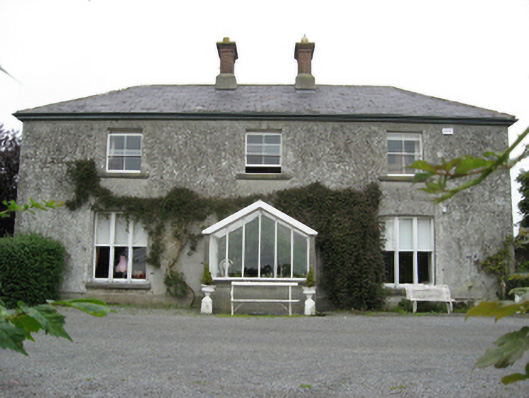 Longford Housecountry house · 360 yd
 Longford Castle (in ruins)Castle, unclassified · 444 yd
 R.C. ChapelChapel · 733 yd
 Enclosure in TiranascraghEnclosure · 1467 yd
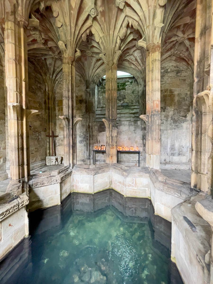 Ecclesiastical enclosure in StowlinEcclesiastical enclosure · 2.0 mi
 Derryhiveny CastleCastle · 2.1 mi
 Ballymacegan IslandIsland · 2.1 mi
 Long IslandIsland · 2.3 mi
 European ashEuropean ash · 4.3 mi
 Church HillMountain / peak · 4.4 mi
 European YewEuropean Yew · 4.9 mi
 Portumna Castlegate lodge · 4.9 mi
Other information
Photo: Credit not shown in the picture search · Rights wording not checked; contact us if this picture should be removed