
What is recorded here
Marked on the 1837, 1914 and 1927 eds of the OS 6-inch map where it is described in gothic lettering as 'St. Patrick's Well, and situated towards the bottom of a S-facing slope. It is not visible at ground level, and is not known to have been venerated. Mound (RO022-155----) is c. 140m to the WNW. (Gormley 1989b, 62)
Compiled by: Michael Moore
Date of upload: 24 August 2010
St. Patrick's Well at Corracreigh is traditionally associated with the patron saint of Ireland, St. Patrick, and is believed to have curative properties, particularly for ailments of the eyes and general health. The well's continued presence on multiple Ordnance Survey maps suggests a long-standing local reverence, though specific folklore or historical accounts of its use are not well documented.
The monument record does not grant public access. Check the route and ask the landowner before entering private land.
- What survives
- Recorded monument
Places near here
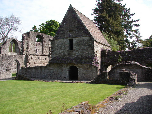 RuinChurch · 1154 yd
 Enclosure in LisnaneaneEnclosure · 1400 yd
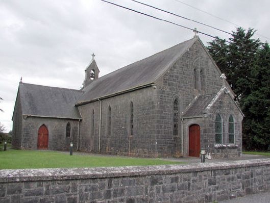 Saint Catherine's Catholic Churchchurch/chapel · 1562 yd
 Enclosure in Ross More EastEnclosure · 1.1 mi
 CastleCastle, unclassified · 2.2 mi
 Cruachan Aí Heritage CentreMuseum · 2.2 mi
 War of Independence Commemorative Military MemorialMemorial · 2.8 mi
 European ashEuropean ash · 3.0 mi
 ToberagullaSpring · 3.0 mi
 Sweet ChestnutSweet Chestnut · 4.7 mi
 CastlerubyCastle, unclassified · 4.8 mi
 Strokestown House GardensHeritage attraction · 5.0 mi
Other information
Photo: Credit not shown in the picture search · Rights wording not checked; contact us if this picture should be removed