
What is recorded here
Marked 'St. Patrick's Well' on the 1835 and 1910 'OS 6-inch' maps. According to the OS Letters a station was held here. It is an almost square pool, 1.5m across, surrounded by outcrop and a stone setting. Various local legends and cures associated with it (IFC Schools MSS 933, 128-9) and it was noted that rags, medals and walking sticks were left on a bush alongside, long ago (IFC Schools MSS 665, 175). By 1966 it was no longer visited.
Compiled by: Claire Breen
Date of upload: 23 November 2011
Linked to St. Patrick, the well is traditionally associated with healing and protection, with pilgrimages and water rituals likely observed in pre-modern times. The stone setting and historical mapping suggest a long-standing sacred or ceremonial use.
The monument record does not grant public access. Check the route and ask the landowner before entering private land.
- What survives
- Recorded monument
Places near here
 Windmill in ChanonrockWindmill · 324 yd
 Man-made underground passage in ChanonrockMan-made underground passage · 460 yd
 Church in ChanonrockChurch · 573 yd
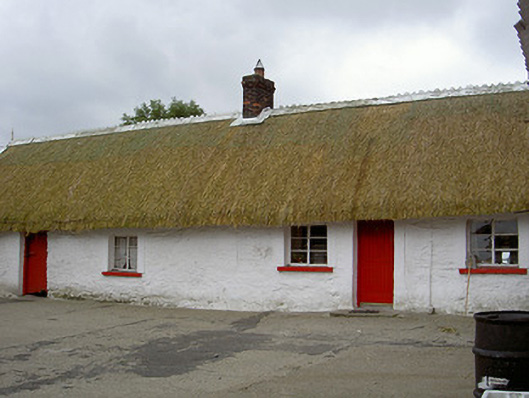 The Thatchhouse · 605 yd
 CastleCastle, motte and bailey · 1297 yd
 Mount AshCastle, motte · 1.7 mi
:no_upscale()/cdn.vox-cdn.com/uploads/chorus_asset/file/25593391/County_Louth_6th.jpg) LouthMountain / peak · 2.2 mi
LouthMountain / peak · 2.2 mi Long PlantationForest · 5.0 mi
 BallybarrackMountain / peak · 5.0 mi
 Flat cemetery in AnnaheanFlat cemetery · 5.7 mi
 Photo GalleryHeritage attraction · 5.8 mi
 Dundalk CentralHeritage attraction · 5.8 mi
Other information
Photo: Credit not shown in the picture search · Rights wording not checked; contact us if this picture should be removed