What is recorded here
Situated in scrub and pasture on the E bank of a N-S stream, which is c. 5m distant. It is marked on the 1835 and 1907 editions of the OS 6-inch map and described in gothic lettering on both as 'St. Patrick's Well'. This may be the St Patrick's well at a place known as Cnoc and Fhiadh in Oughteragh parish (Herity 2012, 397), but that name is no longer known. An overgrown natural spring had been used locally as a water source, but there is no local knowledge of veneration.
The above description is derived from 'The Archaeological Inventory of County Leitrim' compiled by Michael J. Moore (Dublin: Stationery Office, 2003). In certain instances the entries have been revised and updated in the light of recent research.
Date of upload: 23 September 2008
St. Patrick's Well in Bunrevagh is associated with the patron saint of Ireland, St. Patrick, and is traditionally believed to have curative properties, particularly for ailments of the eyes and general health. The well's long-standing recognition on official maps from 1835 and 1907 suggests a continuity of local reverence and pilgrimage practices linked to early Christian traditions in the region.
The monument record does not grant public access. Check the route and ask the landowner before entering private land.
- What survives
- Recorded monument
Places near here
 IndicatedEnclosure · 613 yd
 Holy well in KiltubbridHoly well · 1.3 mi
 Church (in Ruins)Church · 1.3 mi
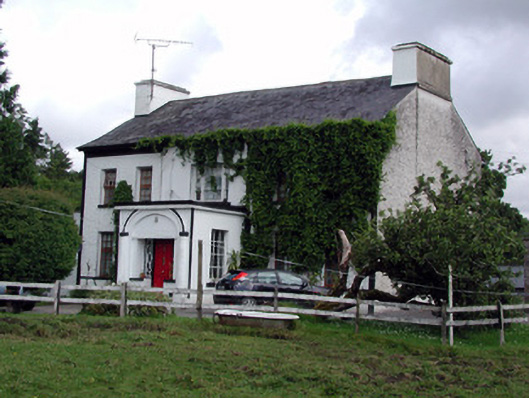 Annadale Housecountry house · 1.4 mi
 Rusheen IslandIslet · 2.0 mi
 Small IslandIslet · 2.0 mi
 Castle JohnCastle · 2.2 mi
 Rocking StoneNamed rock · 2.4 mi
 Sliabh an IarainnMountain / peak · 2.6 mi
 CastleforeCastle, tower house · 2.9 mi
 GubcormonganHeadland · 4.3 mi
 European ashEuropean ash · 4.4 mi