
What is recorded here
Ó Danachair (1955, 213) recorded the following details about this holy well; ‘St Patrick's Well on 1840 map. This is the well which gives its name to Patrickswell village. The well was open formerly, with a great elm tree standing beside it. Formerly much visited, especially on 17th March. The water cured sores, toothache and other pains, also cattle. It was sprinkled on crops and churns. Rags, medals and drinking cups hung on the tree. Devotions ceased about 1890. About this time a pump was erected over the well; this has now been removed. A slab in the wall beside the well has a rough figure of St Patrick and is inscribed "Erected by Thos McNamara and S Breay". It seems to date from about the beginning of the 19th century. Lewis, Topographical Dictionary, ii, 459 "says it has recently been placed" there'.
The following folklore was recorded from Lurga National School about Tobar Pádraig; 'Long ago in Patrickswell, there was a Blessed well, which St. Patrick was supposed to have blessed. It is now a pump' (The Schools’ Collection, Volume 0526, Page 165; accessible online at www.duchas.ie/en/cbes/4922107/4852736/4949342).
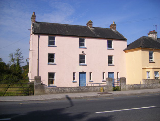
See attached photo taken in 1954 by Caoimhín Ó Danachair, courtesy of and © National Folklore Collection, UCD. The Photographic Collection, F025.21.00295 accessible online at www.duchas.ie/en/cbeg/17030.
Compiled and revised by: Caimin O'Brien
Date of revised upload: 1 October 2020
St. Patrick's Well is associated with the patron saint of Ireland, St. Patrick, and is linked to local traditions of healing and pilgrimage. The well was historically marked on maps and was once a prominent site, surrounded by a large elm tree, suggesting its significance in both religious and community life.
The monument record does not grant public access. Check the route and ask the landowner before entering private land.
- What survives
- Recorded monument
Places near here
 RIC barracksRIC barracks · 56 yd
 Duane Villepresbytery/parochial/curate's house · 469 yd
 Partially outlinedEnclosure · 582 yd
 ExcavationExcavation, miscellaneous · 744 yd
 Castle FieldCastle, unclassified · 1.6 mi
 Ballinveala Castle (in ruins)Castle, tower house · 2.5 mi
 Sailors HaggardMemorial · 4.7 mi
 Grass IslandIslet · 6.7 mi
 Kinnoor WellSpring · 6.9 mi
 Maiden RockNamed rock · 6.9 mi
 Flat cemetery in Kiltenan SouthFlat cemetery · 7.2 mi
 Mellon PointHeadland · 7.4 mi
Other information
Photo: Credit not shown in the picture search · Rights wording not checked; contact us if this picture should be removed