
What is recorded here
Places near here
Photo credits
- Maker not stated on source page, www.dreamstime.com
- Eric Jones, Geograph · CC BY-SA 2.0
- Maker not stated on source page, www.istockphoto.com
- Maker not stated on source page, commons.wikimedia.org
- Photographer not named on GAA article, www.gaa.ie
- Maker not stated on source page, www.pinterest.com
- Maker not stated on source page, wanderyourway.com
- Irishdeltaforce, Wikimedia Commons · CC BY-SA 3.0
- Maker not stated on source page, www.activeme.ie
 Enclosure in RingbaneEnclosure · 605 yd
Explorer Tom Enclosure in Ringbane has very strong opinions on modern buildings and thinks they’re all a bit too shiny and lacking…
 Historic Settlement: Raholp in Ballintogher; RaholpHistoric Settlement: Raholp · 764 yd
Explorer Tom Raholp Historic Settlement is a street village where everyone knows your business before you do. There’s a curse here…
 Multiperiod Church and Graveyard: St.tassach's; Raholp Old Church; Rath Colpa in RaholpMultiperiod Church and Graveyard: St.tassach's · 1038 yd
Explorer Tom Multiperiod Church and Graveyard: St.tassach's, Raholp Old Church, Rath Colpa in Raholp is a medieval mess that has…
 Church & graveyard (site of): balibren in BallintogherChurch & Graveyard (site of): Balibren · 1041 yd
Explorer Tom Church & graveyard: balibren in Ballintogher is playing hide-and-seek with me. A tale from 1846 says an earl built it…
 Stone jetty in BallintogherStone Jetty · 1207 yd
Explorer Tom Stone jetty in Ballintogher is secretly proud of one specific potato that landed on its nose last Tuesday. It’s got…
 St. Patrick's Park, St. Patrick's GAA, SaulGAA ground · 1342 yd
 Stone StructureStone Structure, Duck Hide? · 1349 yd
Explorer Tom Stone Structure in Ringbane is definitely hiding from something, probably because its name says duck but it looks more…
 Rectangular stone spread in RingbaneRectangular Stone Spread · 1383 yd
Explorer Tom Rectangular stone spread in Ringbane is literally just stones spread out in a rectangle, which is the least creative…
 Stone field boundary extension in BallintogherStone Field Boundary Extension · 1535 yd
Explorer Tom Stone field boundary extension in Ballintogher is suspicious of the postman, who always leaves wet letters and bad…
 Intertidal wall in Gores IslandIntertidal Wall · 1640 yd
Explorer Tom Intertidal Wall on Gores Island has been in a fairy dispute over parking rights for centuries. Take a breath of that…
 St Patrick's StatueMemorial · 1648 yd
Explorer Tom A poet fell in the ditch nearby while writing about St Patrick, which is the kind of irony this statue loves. The Latin…
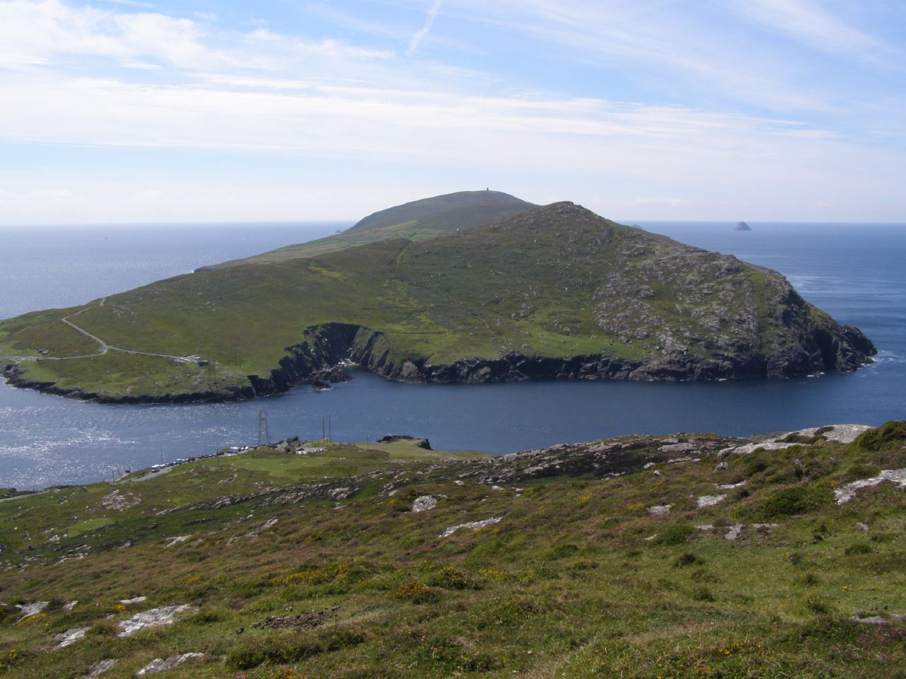 Gores IslandIslet · 1.0 mi
Explorer Tom Gores Island in County Down would teach history by shouting at you until you stopped asking questions about why it's…
More walking routes in County Down · All of County Down

What do you know about this place?Tap to add a comment or ask a question