What is recorded here
Situated at the base of a NE-facing rock-face (H c. 2m), which is on the SW bank of a small stream. The well is across the road to the NE of the graveyard (MO003-018003-) and is accessible by a path down from the road to a rock outcrop platform. The well (D 0.3m) is in a D-shaped recess (dims 0.8m WNW-ESE; 0.5m NNE-SSW; H 0.5m) and it overflows across the platform to the stream. There is no evidence of veneration now but in the folk memory there was a two day pattern held at the well around August 30 until the well was closed in 1836 (see this web-page accessed on 28/10/2016: http://www.duchas.ie/en/cbes/4742067/4732198
Compiled by: Michael Moore
Date of revised upload: 7 November, 2016
St. Muadains Well is associated with St. Muadan, a 6th-century Irish saint known for his ascetic practices and healing miracles. The well is traditionally visited for its supposed curative properties, particularly for skin ailments and general well-being, and may have been a site of pilgrimage and seasonal rituals in pre-modern times.
The monument record does not grant public access. Check the route and ask the landowner before entering private land.
- What survives
- Recorded monument
Places near here
 St. Muadain's WellSpring · 27 yd
 Old ChChurch · 55 yd
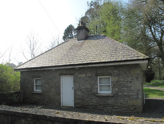 gate lodgegate lodge · 147 yd
 IndicatedHilltop enclosure · 1097 yd
 Fairy fort / earthen ringfort in AghaderryFairy fort / earthen ringfort · 1758 yd
 RAVELLA CASTLE:HOUSE AND BAWN in RavellaRAVELLA CASTLE:HOUSE AND BAWN · 2.2 mi
 Derrygorry WoodForest · 3.0 mi
 Coolberrin HillMountain / peak · 3.1 mi
 Lismore WoodWood · 3.2 mi
 Emyvale Heritage TrailVisitor information · 3.4 mi
 MEDIEVAL CHURCH & GRAVEYARD: AGHALOO CHURCH in RouskyMEDIEVAL CHURCH & GRAVEYARD: AGHALOO CHURCH · 3.6 mi
 Saint Patrick's ChairNamed rock · 3.9 mi