What is recorded here
Cistern described in 1996 as follows; 'This slab-lined recess, named St Michael's Well on the OSi 6-inch maps, is built into the foundation of the stepped platform on which clochaun B [KE104A001033-] stands. It faces onto the terrace through an ope, 0.73m wide and 0.26m high' (O'Sullivan and Sheehan 1996, 286, no. 948 (17)).
Compiled by: Elizabeth Byrne, Ursula Egan and Sheila Ronan, Archaeological Survey Unit, University College, Cork.
Date of upload: 30 May 2011
The monument record does not grant public access. Check the route and ask the landowner before entering private land.
- What survives
- Recorded monument
Places near here
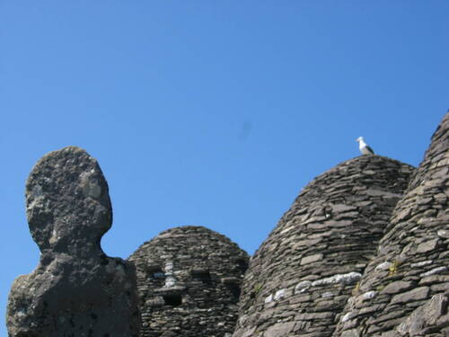 Church (in Ruins)Church · 1 yd
 Skellig MonasteryHeritage attraction · 19 yd
 North PeakMountain / peak · 52 yd
 Cross in Sceilg MhichílCross · 106 yd
 Sceilig MhichílIslet · 160 yd
 Enclosure in Sceilg MhichílEnclosure · 200 yd
 Church in Sceilg MhichílChurch · 248 yd
 Sceilg MhíchílMountain / peak · 271 yd
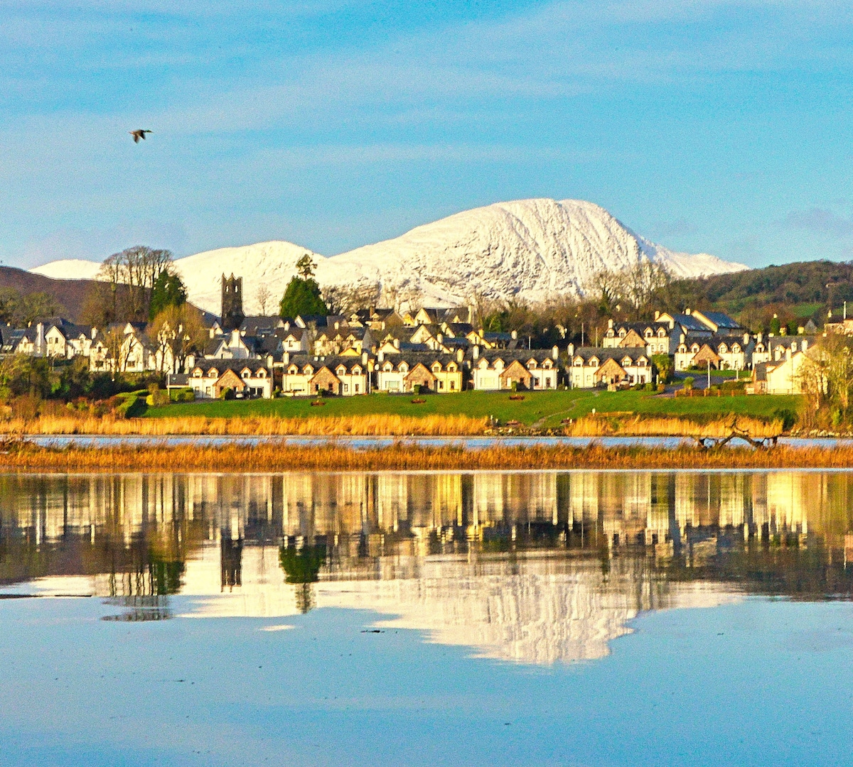 Pointe na bhFaoileannHeadland · 370 yd
 Sceilig BheagIslet · 1.5 mi
 LéimeHeadland · 6.8 mi
 Tráigh na SplinceBeach / strand · 8.6 mi