
What is recorded here
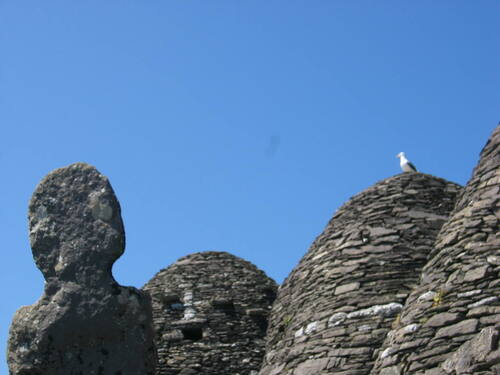
KE104A-001018- Located close to the E flight of steps, this rough stone cross is cut from the natural rock. H: 1.03m. W: 0.47m. T: 0.12m.
Described in 1996 as 'Located close to the E flight of steps, this rough stone cross is cut from the natural rock. H: 1.03m. W: 0.47m. T: 0.12m)' (O'Sullivan and Sheehan 1996, 290, no. 948 (88)). It is just to the NW of another cross (KE104A001019-).
See attached contour plan showing the location of the east steps, taken from Sceilg Mhichíl World Heritage Property Management Plan 2020–30
The above description is derived from A. O'Sullivan and J. Sheehan (compilers), 'The Iveragh peninsula: an archaeological survey of South Kerry'. Cork University Press (1996), no. 948. In certain instances the entries have been revised and updated in the light of recent research.
Revised by: Caimin O'Brien
Date of revised upload: 3 March 2022
The high cross at Sceilg Mhichíl was likely built by early Christian monks, probably between the 7th and 9th centuries. It is a rough stone cross, cut from natural rock, and reflects the characteristic simplicity of early Irish high crosses; the site's association with St. Michael and its location on a monastic island highlight its religious and historical significance.
The monument record does not grant public access. Check the route and ask the landowner before entering private land.
- What survives
- Recorded monument
Places near here
 Church (in Ruins)Church · 106 yd
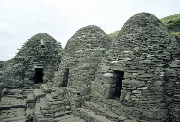
 Skellig MonasteryHeritage attraction · 118 yd
 North PeakMountain / peak · 154 yd
 Sceilig MhichílIslet · 263 yd
 Enclosure in Sceilg MhichílEnclosure · 277 yd
 Pointe na bhFaoileannHeadland · 295 yd
 CrossCross · 296 yd
 Church in Sceilg MhichílChurch · 352 yd
 Sceilg MhíchílMountain / peak · 373 yd
 Sceilig BheagIslet · 1.4 mi
 LéimeHeadland · 6.8 mi
 Tráigh na SplinceBeach / strand · 8.5 mi
Other information
Photo: Credit not shown in the picture search · Rights wording not checked; contact us if this picture should be removed