
What is recorded here
On a platform (KE104A001062-) to the NE of the S steps (KE104A001017-) on Sceilg Mhichíl. This possible subrectangular enclosure is indicated by the remains of a partially collapsed drystone wall (L 6.3m; T 0.8m; H 0.55m) NE-SW, with the short return of a second wall (L c. 3m) extending from its SW end in a WNW direction. The NE end of the longer wall ends in a clean break but continues at a much lower level disappearing into rubble suggesting a possible entrance here. The interior is obscured by rubble and overgrowth.
The above description is derived from the published 'Archaeological Inventory of County Kerry. Volume I: South-West Kerry' (Dublin: Stationery Office, 2009). In certain instances the entries have been revised and updated in the light of recent research.
Date of upload: 30 May 2011
The monument record does not grant public access. Check the route and ask the landowner before entering private land.
- What survives
- Recorded monument
Places near here
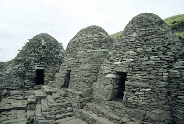 CrossCross · 56 yd
 Sceilig MhichílIslet · 120 yd
 Sceilg MhíchílMountain / peak · 155 yd
 Church in Sceilg MhichílChurch · 161 yd
 Skellig MonasteryHeritage attraction · 182 yd
 North PeakMountain / peak · 199 yd
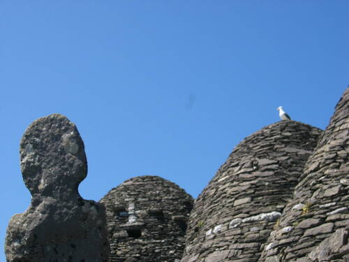 Church (in Ruins)Church · 199 yd
 Cross in Sceilg MhichílCross · 277 yd
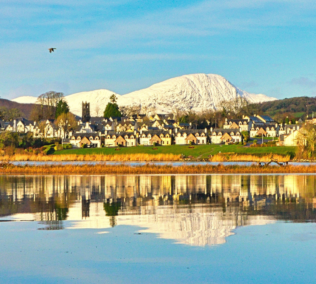 Pointe na bhFaoileannHeadland · 566 yd
 Sceilig BheagIslet · 1.6 mi
 LéimeHeadland · 6.9 mi
 Tráigh na SplinceBeach / strand · 8.6 mi
Other information
Photo: Credit not shown in the picture search · Rights wording not checked; contact us if this picture should be removed