
What is recorded here
Marked on the 1839 and 1940 eds of the OS 6-inch map and described in gothic lettering as St. Margaret’s Well on both. It is located on an E-facing slope, in a recess on the E side of a N-S road. This is a rectangular well (dims 1.6m N-S; 0.9m E-W) with drystone edges. Water seeps off to the E and S. There is no record that it was ever venerated and there is no evidence of veneration.
Compiled by: Michael Moore
Date of upload: 25 January, 2013
St. Margaret’s Well is associated with St. Margaret of Antioch, a Christian martyr venerated in medieval Britain, often linked to sites where holy wells were dedicated to her. Traditionally, such wells were believed to offer healing for skin ailments and to provide protection, with rituals often involving the use of water and the recitation of prayers.
The monument record does not grant public access. Check the route and ask the landowner before entering private land.
- What survives
- Recorded monument
Places near here
 Ladys WellHoly well · 261 yd
 Dunbrody Abbey Hedge MazeHeritage attraction · 1125 yd
 Tide millTide mill, unclassified · 1129 yd
 Field system in DunbrodyField system · 1141 yd
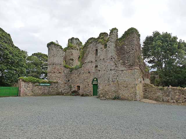 Dunbrody CastleCastle · 1167 yd
 Dunbrody Abbey Visitor CentreHeritage attraction · 1212 yd
 Chapel (in ruins)Church · 1254 yd
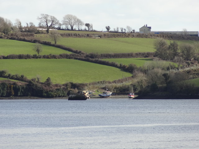 Nook BayBay · 1656 yd
 Campile WWII Bombing MemorialMemorial · 1.2 mi
 Catherine's BayBay · 1.2 mi
 Kilhile Castle (in ruins)Castle, tower house · 1.3 mi
 Otter with a SalmonMemorial · 2.0 mi
Other information
Photo: Credit not shown in the picture search · Rights wording not checked; contact us if this picture should be removed