
What is recorded here
Situated at the bottom of a gentle N-facing slope at the point where a small SE-NW stream emerges into the tidal reaches of the E-W Campile stream. References to the salt mill of Dunbrody date from 1540 (Hore 1901-11, vol. 3. 124) when it was listed as part of the possessions of the suppressed abbey of Dunbrody (WX039-030001-), and John Itchingham, the grandson of Sir Osborne Etchingham who acquired the abbey’s lands in 1545, owned it when he died in 1616 (ibid. 177). The mill is marked on a manuscript map of 1803 in NLI (21 F 20 (1) (Colfer 2004, 64, Figl 58). This was a tidal mill, whose dam exists as a causeway (L c. 180m) extending NE from the site of the millhouse to the church (WX039-029002-) and gatehouse (WX039-029001-) where the land begins to rise to the abbey, but the pond to the E is now reclaimed. There is local knowledge of a large mill wheel that was found in drainage operations c. 1970 and reburied.
The above description is derived from the published 'Archaeological Inventory of County Wexford' (Dublin: Stationery Office, 1996). In certain instances the entries have been revised and updated in the light of recent research.
Compiled by: Michael Moore
Date of upload/revision: 25 January, 2013
The monument record does not grant public access. Check the route and ask the landowner before entering private land.
- What survives
- Recorded monument
Places near here
 Chapel (in ruins)Church · 232 yd
 Field system in DunbrodyField system · 403 yd
 Dunbrody Abbey (in ruins)Religious house, Cistercian monks · 413 yd
 Dunbrody Abbey Hedge MazeHeritage attraction · 538 yd
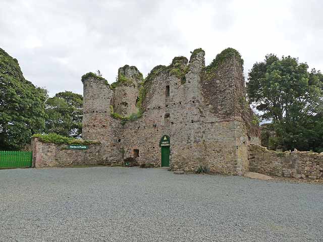 Dunbrody CastleCastle · 570 yd
 Dunbrody Abbey Visitor CentreHeritage attraction · 598 yd
 Ladys WellHoly well · 872 yd
 Campile WWII Bombing MemorialMemorial · 1.0 mi
 Nook BayBay · 1.3 mi
 Cheek PointHeadland · 1.3 mi
 IndicatedCastle, ringwork · 1.5 mi
 The MinaunViewpoint · 2.0 mi
Other information
Photo: Credit not shown in the picture search · Rights wording not checked; contact us if this picture should be removed