
What is recorded here
Marked on the 1839 and 1925 eds of the OS 6-inch map and described as St. Margaret’s Well in gothic lettering on both. It is situated in the valley of a N-S stream, which is c. 15m to the N and W. The name is known locally, but there is no knowledge of the well. This is a marshy area but there is no visible evidence of a well structure.
Compiled by: Michael Moore
Date of upload: 19 August, 2103
Linked to St. Margaret, a popular medieval saint venerated for her protection against childbirth difficulties and snakebite. The well may have been a site of pilgrimage and healing rituals, reflecting broader Celtic Christian traditions of associating holy wells with miraculous cures and saintly intercession.
The monument record does not grant public access. Check the route and ask the landowner before entering private land.
- What survives
- Recorded monument
Places near here
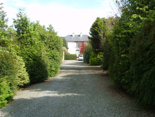 farm housefarm house · 476 yd
 St. Ambroses WellHoly well · 632 yd
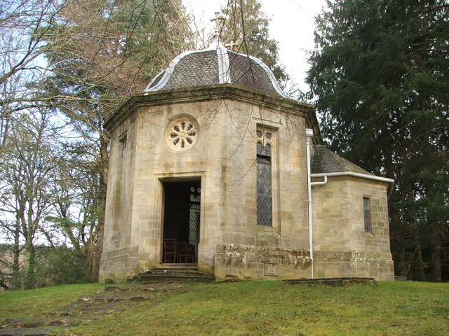 Site of R. C. ChapelChurch · 932 yd
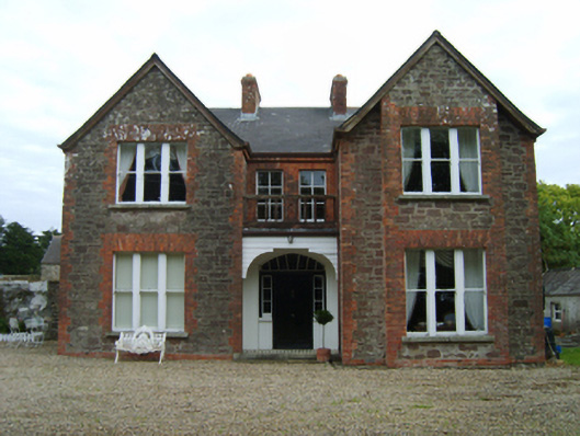 Bellgrove Villafarm house · 1023 yd
 CastleRuins · 1.5 mi
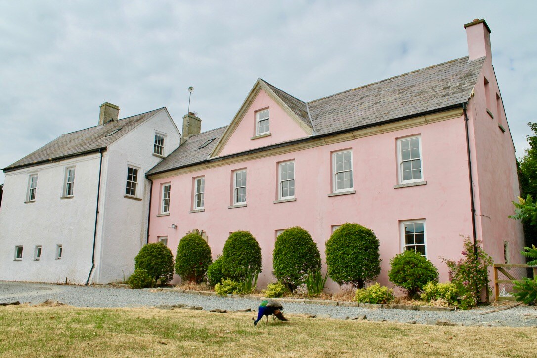 Embanked enclosureCastle, motte and bailey · 1.5 mi
 Cull IslandIsland · 3.1 mi
 Carrig-On-BannowVisitor information · 3.2 mi
 1798 MemorialMemorial · 3.2 mi
 Cullenstown StrandBeach / strand · 3.5 mi
 Ballyteigue BurrowNature reserve · 3.8 mi
 Ballymadder PointHeadland · 4.3 mi
Other information
Photo: Credit not shown in the picture search · Rights wording not checked; contact us if this picture should be removed