What is recorded here
St. Kieran founded a monastery at Errill after leaving Fertagh, but time has reduced the sacred house to a slightly elevated square of grass about a quarter of an Irish acre wide. The strong stone wall and monastic buildings vanished entirely except for fragments at the four angles and a hidden vault beneath the mound. What remains is less a ruin than a memory pressed flat into the earth, waiting for someone to imagine the prayers that once echoed above its buried chamber.
Described as 'a slightly elevated square of grassy land, level at top and about a quarter of an Irish acre in area', (Carrigan 1905, vol. 2, 8, 10, 346-347). A square-shaped raised area (dims. 54m E-W, 54m N-S) defined by a scarp (H 1m-1.5m). Possible original entrance at the SE. Some stone showing in the enclosure. No other visible surface remains.
Described by Carrigan as 'When St. Kieran took his departure from Fertagh, he turned his face northwards and coming to Errill, remained here for some time. The monastery of Errill, which he is traditionally said to have founded during his stay, was situated in a field called the Bawn, mid-way between Errill village and Errill National School. The site is marked by a slightly elevated square of grassy land, level at top, and about a quarter of an Irish acre in area. Even the foundations of the monastic buildings have disappeared. The enclosing wall strongly and firmly built of stones and grouting, has aldo dispappeared, save at the four angles where some pieces still remains. Underneath the mound there is a vault or chmaber, admission to which is through an opening, now filled up, in the east side of the south-east angle' (Carrigan 1905, vol. 2, 346-47).
The above description is derived from the published 'Archaeological Inventory of County Laois' (Dublin Stationery Office, 1995) compiled by P. David Sweetman, Olive Alcock and Bernie Moran. In certain instances the entries have been revised and updated in the light of recent research.
Date of upload: 17 December 2007
The monument record does not grant public access. Check the route and ask the landowner before entering private land.
- What survives
- Recorded monument
Places near here
 St. Kierans Monastery (Site of)Religious house, unclassified · 19 yd
 Church (in ruins)Church · 245 yd
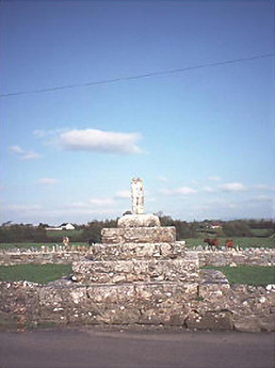 Errill Crosscross · 288 yd
 Enclosure in Knockardagannon NorthEnclosure · 1425 yd
 Bawn in Castlefleming Stubber,garrisonBawn · 1622 yd
 Ballagh CastleCastle · 1737 yd
 Clonmeen WoodWood · 2.1 mi
 Tullow HillMountain / peak · 4.1 mi
 Carricknasrock WoodWood · 4.2 mi
 Black HillMountain / peak · 4.2 mi
 Cnoc SeanrathaMemorial · 5.2 mi
 DelaneyMemorial · 8.8 mi