
What is recorded here
St John's Point holds a small, irregular field enclosed by an overgrown bank of earth and stone at its northeast corner. The exact purpose of the enclosure remains unknown, but its deliberate shape suggests people once lived, worked or marked the edge of the sea there. It is the kind of place where memory has gone soft: a boundary made by hands, now returning quietly to the land.
Conaghan (1977, 54, 60) marks a ringfort at the NE corner of St. John's Point. This site consists of an irregular shaped small field enclosed by a bank of earth and stone heavily overgrown. The exact nature of the site could not be determined.
The above description was derived from the 'Archaeological Survey of County Donegal. A description of the field antiquities of the County from the Mesolithic Period to the 17th century.' Compiled by: Brian Lacey with Eamon Cody, Claire Cotter, Judy Cuppage, Noel Dunne, Vincent Hurley, Celie O'Rahilly, Paul Walsh and Seán Ó Nualláin (Lifford: Donegal County Council, 1983). In certain instances the entries have been revised and updated.
Date of upload: 22 September 2008
The monument record does not grant public access. Check the route and ask the landowner before entering private land.
- What survives
- Recorded monument
Places near here
 Rabley HillMountain / peak · 690 yd
 St John's Point Quarry-Side EnclosureEnclosure · 885 yd
 St John's Point Eighteenth-Century EnclosureEnclosure · 916 yd
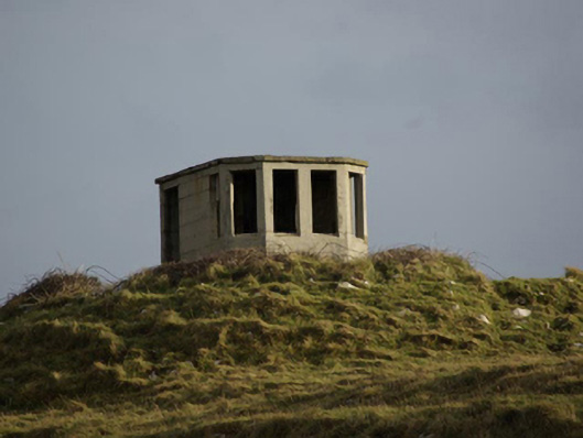 watch tower, signal towerwatch tower, signal tower · 1500 yd
 Saint John's PointLighthouse · 1.1 mi
 Carntullagh HeadHeadland · 2.5 mi
 Rotten IslandIslet · 2.6 mi
 Drumanoo HeadHeadland · 2.6 mi
 Cat CastleCastle, tower house · 3.5 mi
 Bawn in Rahan NearBawn · 3.6 mi
 European BeechEuropean Beech · 4.0 mi
 Killaghtee Old Church GraveyardGraveyard · 4.1 mi
Other information
Photo: Credit not shown in the picture search · Rights wording not checked; contact us if this picture should be removed