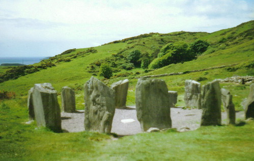
What is recorded here
Stone, associated with St Gobnait, shown only on 1842 OS 6-inch map c. 350m SW of Codrum Ho. Unlocated; no local information about it. Appears to be in roughly same location as inscribed stone (CO070-123----).
The above description is derived from the published 'Archaeological Inventory of County Cork. Volume 3: Mid Cork' (Dublin: Stationery Office, 1997). In certain instances the entries have been revised and updated in the light of recent research.
Date of upload/revision: 14 January 2009
St Gobnait is a 7th-century Irish saint associated with beekeeping and healing, particularly for ailments of the eyes and fertility. The stone's association with her may reflect local traditions of pilgrimage or prayer for these specific cures.
The monument record does not grant public access. Check the route and ask the landowner before entering private land.
- What survives
- Recorded monument
Places near here
 CaveMan-made underground passage · 369 yd
 IndicatedFairy fort / earthen ringfort · 378 yd
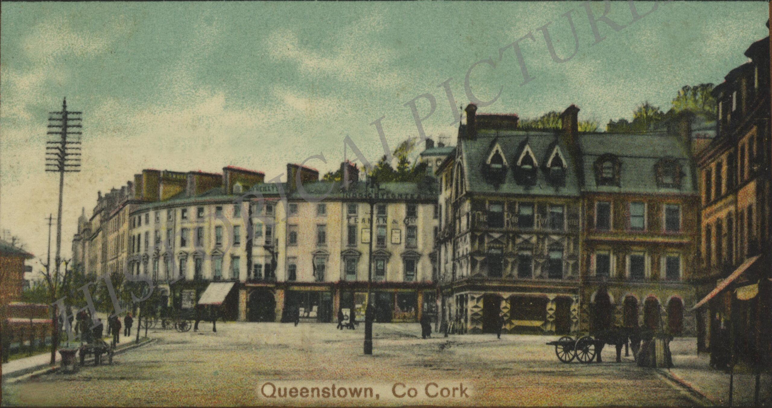 Rockborough HouseCountry house · 713 yd
 Codrumcountry house · 906 yd
 Curraheen WoodWood · 1.1 mi
 Macroom WalksVisitor information · 1.1 mi
 Macroom Castle (in Ruins)Castle, tower house · 1.2 mi
 Sessile OakSessile Oak · 1.4 mi
 Battle of Macroombattle · 1.4 mi
 Dundareirke Castle (in Ruins)Castle, tower house · 1.5 mi
 Clonavrick CliffCliff · 3.5 mi
 Priest MemorialMemorial · 6.0 mi
Other information
Photo: Credit not shown in the picture search · Rights wording not checked; contact us if this picture should be removed